Oranjemund Airport
| Oranjemund Airport | |||||||||||
|---|---|---|---|---|---|---|---|---|---|---|---|
| Summary | |||||||||||
| Airport type | Public | ||||||||||
| Serves | Oranjemund, Namibia | ||||||||||
| Elevation AMSL | 14 ft / 4 m | ||||||||||
| Coordinates | 28°35′05″S 016°26′45″E / 28.58472°S 16.44583°E | ||||||||||
| Map | |||||||||||
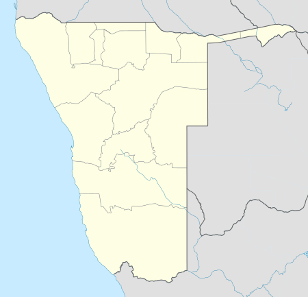
 OMD Location of airport in Namibia | |||||||||||
| Runways | |||||||||||
| |||||||||||
Oranjemund Airport (IATA: OMD, ICAO: FYOG) is an airport serving Oranjemund,[1] a town in the ǁKaras Region of Namibia. The town and airport are located near the northern bank of the Orange River, which is the border between Namibia and South Africa.
The airport is 4.7 nautical miles (8.7 km) west of the Alexander Bay VOR-DME (Ident: ABV), located on the Alexander Bay Airport across the river in South Africa.[4][5]
Airlines and destinations
| Airlines | Destinations |
|---|---|
| Air Namibia | Lüderitz, Windhoek-Hosea Kutako |
| Westair Aviation | Windhoek-Eros1 |
- ^1 : This flight continues to Cape Town. However, this carrier does not have rights to transport passengers solely between Oranjemund and Cape Town.
See also
References
- 1 2 Airport information for FYOG from DAFIF (effective October 2006)
- ↑ Airport information for OMD at Great Circle Mapper.
- ↑ Google Maps - Oranjemund
- ↑ "Alexander Bay VOR-DME (ABV) @ OurAirports". ourairports.com. Retrieved 2018-08-21.
- ↑ "ABV - ALEXANDER BAY". www.pilotnav.com. Retrieved 2018-08-21.
External links
This article is issued from
Wikipedia.
The text is licensed under Creative Commons - Attribution - Sharealike.
Additional terms may apply for the media files.