Oadby
| Oadby | |
|---|---|
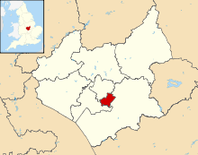
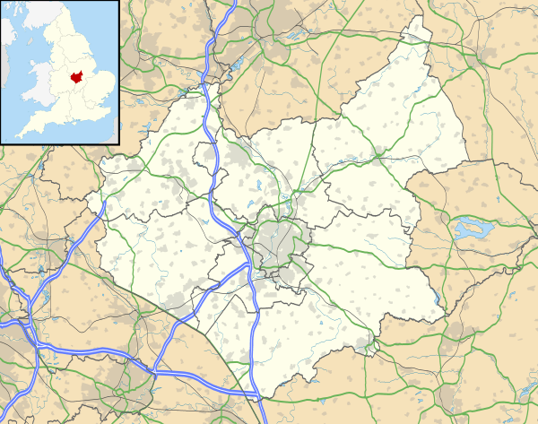 Oadby Oadby shown within Leicestershire | |
| Population | 23,849 |
| OS grid reference | SK625005 |
| District | |
| Shire county | |
| Region | |
| Country | England |
| Sovereign state | United Kingdom |
| Post town | LEICESTER |
| Postcode district | LE2 |
| Dialling code | 0116 |
| Police | Leicestershire |
| Fire | Leicestershire |
| Ambulance | East Midlands |
| EU Parliament | East Midlands |
| UK Parliament | |
Oadby is a small town in Leicestershire, three miles south east of Leicester city centre. The town is famous for Leicester Racecourse, situated on the border between Oadby and Stoneygate, and the University of Leicester Botanical Garden. Oadby had a population of 23,849 in 2011 and like its neighbour Wigston, Oadby is made up of five wards. The Borough of Oadby and Wigston is twinned with Maromme in France, and Norderstedt in Germany.
History
Angles, Danes and Normans
There has been a habitation in Oadby since an Anglian settlement in the early Anglo-Saxon period. Though the name Oadby is Danish (meaning "Outi's dwelling") it must have existed long before the Danish invasions as is shown by the existence of a pagan Anglian cemetery. The original Anglian name has been lost.[1] In 1760, on Brocks Hill, evidence of an Anglian burial ground was discovered The Middle Angles came under the rule of the kings of Mercia and were later conquered by the Danish invaders. Oadby is one of seventy Danish settlements in Leicestershire ending with "-by", which means village or settlement. Its name probably came from Old Norse Auðarbýr = "Auði's settlement".[2] Danish rule continued until 920, when King Alfred the Great won his battles against the Danes: the Oadby area is supposed to be the site of at least one of these battles.
In the Domesday Book, 1086, Oadby's name was recorded as Oldebi. Other early forms are Oladebi, Outheby (Feet of Fines, 1199), Onderby and, finally, Oadby. When King Harold had been defeated, William the Conqueror gave Oadby to Hugh de Grandmesnil, Governor of Leicestershire, who founded the parish church of Oadby on the site of the present St Peter's Church. The tenants of the manor of Oadby were Roger who held one and half carucates, and Countess Judith who held 9 carucates and 2 bovates, and 30 acres of meadow. On the Countess's land were 46 socmen, 11 bordars and 3 serfs; 2 carucates were let to Robert de Buci.[3] The manor was held in 1444 by William Ferrers; in 1457 it was held by William Grey, Lord Ferrers of Groby. In 1541 the manor was held by John Waldron; his successor John Waldron sold it in 1629 to Sir John Lombe. In 1831 the main landed proprietors were the trustees of the late George Wyndham (patrons of the vicarage), George Legh Keck (lord of the manor) and Thomas Pares.[4]
Modern times
Oadby remained a small settlement until the late 19th century when it became a fashionable suburb for the businessmen of Leicester, such as the factory-owners of Leicester's shoe and stocking manufacturers. Many substantial houses were built in Oadby, some of which are now used by the University of Leicester.
Stoughton Road in Oadby contains 2 sets of houses of historical interest. Some of the Framework Knitters Homes date back to 1909, while the North Memorial Homes, financed by Sir Jonathan North (former Mayor of Leicester) were built in 1927 and opened in the same year by the Prince of Wales.[5] As well as a series of houses, the North Memorial Homes site also houses the North Memorial Hall, built in a neo-Georgian style, which has been leased to Oadby Evangelical Free Church since 1974.
Expansion of Oadby took place rapidly in the 20th century and is still continuing in 2017. Many residential developments have been constructed meaning the population in 2011 reached 23,849.[6]
Oadby today
Oadby today is predominantly a residential area for families. As is increasingly the case throughout Leicestershire, Oadby has a diverse population, ethnically and by religion, with 50.1% of the town's population coming from a non-White British background. A few notable parks are; Coombe park, Rosemead Park and Uplands Park, people still plot at the latter to this day.
The village is a mixture of properties, from Edwardian houses to new purpose-built accommodation blocks. These three sites are very popular with undergraduates, especially those just beginning their university career. High levels of pastoral care are provided to reflect the younger population.
Sport and culture
The local football club, Oadby Town F.C., play in the United Counties League. Leicester Tigers, the premiership rugby union club, train at their centre at Oval Park on Wigston Road, Oadby.
Oadby's other local football club is Oadby Owls F.C., who cater for many ages up to under-18s. They play at the municipal Coombe Park and are a very popular football club in Leicester. The club is known to be very successful around the Leicestershire area.
Oadby's Parklands Leisure Centre is home to the Dolly Rockit Rollers roller derby league. Members of the UKRDA, they were ranked amongst the top eight teams in the country in 2011.
The local tennis club (Oadby Granville Tennis Club) is situated on London Road and caters for all standards of tennis and ages and has produced county players and county champions amongst past members.
Notable residents
- Margaret Cooper, innovative nurse and tutor
- John Deacon, bass player of Queen
- James Hawker, local councillor and poacher
- Milan Mandaric, owner of football clubs
Transport
The main A6 dual carriageway passes through the town, bypassing the commercial centre. The A563 Leicester Ring Road intersects with the A6 close to Leicester Race Course to the north of Oadby town centre.
The nearest railway stations are Leicester and South Wigston both roughly 4 miles away.
Oadby is served by Arriva Fox County services 31 (Severn Road), 31A (Coombe Rise), 80/80A (UniLinx) and X3, Centrebus service 40 circle line and Stagecoach Midlands service X7.
References
- ↑ Hoskins, W. G. (1957) Leicestershire. (The Making of the English Landscape.) London: Hodder & Stoughton; pp. 3, 8
- ↑ Ekwall, E. (1940) The Concise Oxford Dictionary of English Place-names; 2nd ed. Oxford: Clarendon Press; p. 330
- ↑ Curtis, J. (1831) A Topographical History of the County of Leicester. Ashby-de-la-Zouch; p. 136
- ↑ Curtis (1831), p. 136
- ↑ "Oadby and Wigston Council forward plans" (PDF). Oadby-wigston.gov.uk. Retrieved 2015-03-31.
- ↑ 2011 UK Census
External links
Settlements in the Borough of Oadby and Wigston, Leicestershire, England | ||
|---|---|---|
 | ||
England Portal | |
| Unitary authorities | |
| Boroughs or districts | |
| Major settlements | |
| Topics | |