Ntchisi Airport
| Ntchisi Airport | |||||||||||
|---|---|---|---|---|---|---|---|---|---|---|---|
| Summary | |||||||||||
| Airport type | Public | ||||||||||
| Serves | Ntchisi | ||||||||||
| Elevation AMSL | 4,300 ft / 1,311 m | ||||||||||
| Coordinates | 13°22′35″S 33°51′55″E / 13.37639°S 33.86528°ECoordinates: 13°22′35″S 33°51′55″E / 13.37639°S 33.86528°E | ||||||||||
| Map | |||||||||||
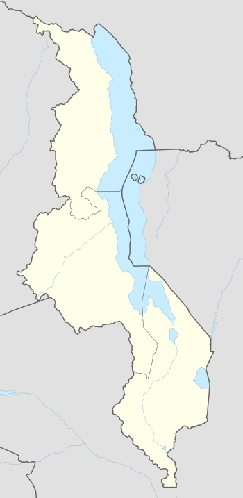 FWCS Location of the airport in Malawi | |||||||||||
| Runways | |||||||||||
| |||||||||||
Ntchisi Airport (ICAO: FWCS) is an airport serving the town of Ntchisi, Republic of Malawi. The airport is 6 kilometres (3.7 mi) west of Ntchisi.
See also
- Transport in Malawi
- List of airports in Malawi


References
- ↑ Airport information for FWCS at Great Circle Mapper.
- ↑ Google Maps - Ntchisi
- Google Earth
External links
This article is issued from
Wikipedia.
The text is licensed under Creative Commons - Attribution - Sharealike.
Additional terms may apply for the media files.