North Weald Bassett
| North Weald Bassett | |
|---|---|
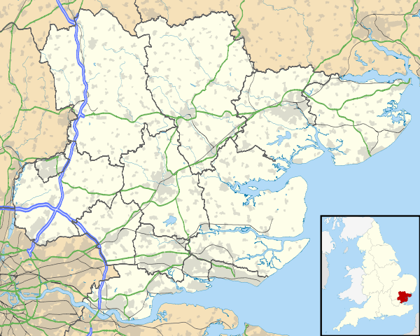 North Weald Bassett North Weald Bassett shown within Essex | |
| Area | 22.79 km2 (8.80 sq mi) |
| Population | 6,321 (2016 Estimate) |
| • Density | 277/km2 (720/sq mi) |
| OS grid reference | TL489066 |
| • London | 15 mi (24 km) SW |
| Civil parish |
|
| District | |
| Shire county | |
| Region | |
| Country | England |
| Sovereign state | United Kingdom |
| Post town | EPPING, HARLOW |
| Postcode district | CM16, CM17 |
| Dialling code | 01992 |
| Police | Essex |
| Fire | Essex |
| Ambulance | East of England |
| EU Parliament | East of England |
| UK Parliament | |
| Website |
www |
North Weald Bassett is a civil parish in the district of Epping Forest, Essex, England.
Geography
North Weald Bassett in approximately 20 miles (32 km) northeast from the centre of London. The parish abuts the outskirts of the towns of Harlow to the north and Epping to the southwest, and is split between these post towns for postal addresses. The parish includes the village of North Weald and the hamlets of Foster Street, Thornwood, Thornwood Common, Tyler's Green, and Hastingwood.
It is rural, with large sections of parish land at the southwest used by North Weald Golf Course, and North Weald Airfield and (ICAO: EGSX), an operational general aviation aerodrome which was an important fighter station during the Battle of Britain, when it was known as the RAF Station RAF North Weald.
Latton Priory was a small priory of Augustinian Canons Regular, the remains of which are a Grade II* listed building.[1] Paris Hall is a 16th-century Grade II* listed house.[2]
Governance and demography
The parish was part of Ongar Rural District from 1894 to 1955 and Epping and Ongar Rural District from 1955 to 1974.[3] The parish is run by a parish council, with its offices in the village of North Weald.[4]
As at the 2001 census the population was 6,039 and 51.5% female, with an average age of 39. There are 2,387 households, with an average household size of 2.45.[5]
Transport
The M11 motorway cuts through the middle of the parish and has a junction with the A414 road. The southern boundary runs parallel to the heritage Epping Ongar Railway and makes a small deviation to include the whole of North Weald railway station. The nearest regularly served stations are outside the parish, with Harlow Town railway station 2 miles (3 km) to the northwest and Epping tube station 1 mile (2 km) to the southwest of the extreme edge of the parish border.
References
- ↑ Historic England. "LATTON PRIORY (1111392)". National Heritage List for England. Retrieved 24 April 2014.
- ↑ Historic England. "PARIS HALL (1146700)". National Heritage List for England. Retrieved 24 April 2014.
- ↑ http://www.visionofbritain.org.uk/unit_page.jsp?u_id=10074174#tab02
- ↑ http://rds.eppingforestdc.gov.uk/mgParishCouncilDetails.aspx?ID=333&LS=3
- ↑ Epping Forest District Council, Local Development Framework