North Carolina's 10th congressional district
| North Carolina's 10th congressional district | |
|---|---|
.tif.png) North Carolina's 10th congressional district - since January 3, 2017 | |
| Current Representative | Patrick McHenry (R–Cherryville) |
| Distribution |
|
| Population (2016) | 759,453[2] |
| Median income | 38,390 |
| Ethnicity |
|
| Cook PVI | R+12[3] |
The 10th Congressional District of North Carolina is a congressional district in central and western North Carolina. It currently includes all of Cleveland, Gaston, Lincoln, Polk, and Rutherford counties, and part of Catawba, Iredell, and Buncombe counties.
Republicans have won the district continuously since 1969. Republican Patrick McHenry has represented the district since 2005. Jeff Gregory (D) was defeated in the 2010 election to represent this district. The 10th district was part of the controversial statewide redistricting by the Republican-led state legislature in 2011.[4] The district's northwest border was redrawn to include most of heavily Democratic Asheville, long the heart of the 11th District. At the same time, some heavily Republican areas in the 10th were shifted to the 11th. While this made the 10th approximately seven points more Democratic, it was not nearly enough to overcome the heavy Republican tilt in the western Charlotte suburbs.
List of representatives
| Name | Took office | Left office | Party | Notes | |
|---|---|---|---|---|---|
| District created March 4, 1793 | |||||
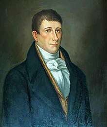 |
March 4, 1793 | March 3, 1795 | Anti-Administration | ||
 |
March 4, 1795 | June 4, 1798 | Democratic-Republican | Died | |
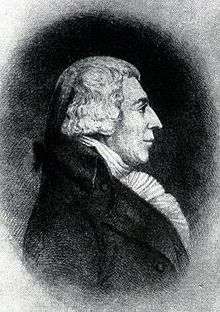 |
December 10, 1798 | March 3, 1801 | Democratic-Republican | ||
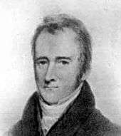 |
March 4, 1801 | March 3, 1803 | Federalist | ||
 |
March 4, 1803 | November, 1805 | Democratic-Republican | Resigned to become Governor | |
 |
February 24, 1806 | March 3, 1809 | Democratic-Republican | ||
 |
March 4, 1809 | March 3, 1815 | Federalist | ||
 |
March 4, 1815 | March 3, 1817 | Democratic-Republican | ||
 |
March 4, 1817 | December 31, 1818 | Democratic-Republican | Died | |
 |
February 11, 1819 | March 3, 1821 | Democratic-Republican | ||
 |
March 4, 1821 | March 3, 1823 | Democratic-Republican | ||
| March 4, 1823 | March 4, 1825 | Crawford D-R | |||
| March 4, 1825 | March 4, 1829 | Adams | |||
.jpg) |
March 4, 1829 | March 3, 1833 | Jacksonian | ||
| March 4, 1833 | March 4, 1837 | Anti-Jacksonian | |||
| March 4, 1837 | March 4, 1839 | Whig | |||
 |
March 4, 1839 | March 3, 1841 | Democratic | ||
.jpg) |
March 4, 1841 | March 3, 1843 | Whig | ||
| District inactive March 3, 1843 | |||||
| District re-established March 4, 1903 | |||||
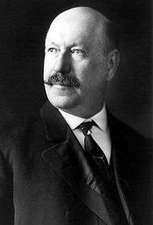 |
March 4, 1903 | March 3, 1907 | Democrat | ||
 |
March 4, 1907 | March 3, 1909 | Democrat | ||
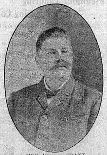 |
March 4, 1909 | March 3, 1911 | Republican | ||
 |
March 4, 1911 | March 3, 1915 | Democrat | ||
 |
March 4, 1915 | March 3, 1917 | Republican | ||
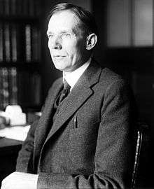 |
March 4, 1917 | March 1, 1919 | Democrat | Lost contested election | |
 |
March 1, 1919 | March 3, 1919 | Republican | Won contested election | |
 |
March 4, 1919 | March 3, 1929 | Democrat | ||
 |
March 4, 1929 | March 3, 1931 | Republican | ||
 |
March 4, 1931 | March 3, 1933 | Democrat | Redistricted to the 11th district | |
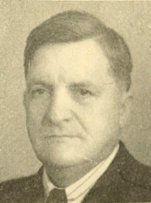 |
March 4, 1933 | January 3, 1943 | Democrat | Redistricted from the 9th district, Redistricted to the 11th district | |
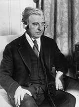 |
January 3, 1943 | January 3, 1945 | Democrat | ||
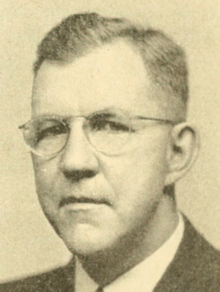 |
January 3, 1945 | December 25, 1945 | Democrat | Died | |
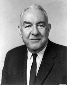 |
January 22, 1946 | January 3, 1947 | Democrat | ||
 |
January 3, 1947 | January 3, 1953 | Democrat | ||
 |
January 3, 1953 | January 3, 1963 | Republican | Redistricted to the 8th district | |
 |
January 3, 1963 | January 3, 1969 | Democrat | Redistricted from the 11th district | |
 |
January 3, 1969 | July 14, 1986 | Republican | Resigned after being appointed to US Senate | |
 |
November 4, 1986 | January 3, 2005 | Republican | ||
 |
January 3, 2005 | present | Republican | Incumbent | |
Historical district boundaries
.tif.png)
See also
References
- ↑ Geography, US Census Bureau. "Congressional Districts Relationship Files (state-based)". www.Census.gov. Retrieved February 3, 2018.
- ↑ Bureau, Center for New Media & Promotion (CNMP), US Census. "My Congressional District". www.Census.gov. Retrieved February 3, 2018.
- ↑ "Partisan Voting Index – Districts of the 115th Congress" (PDF). The Cook Political Report. April 7, 2017. Retrieved April 7, 2017.
- ↑ Ohlemacher, Stephen (March 31, 2014). "GOP uses historic win to remake North Carolina map". Associated Press. Retrieved November 4, 2014.
- Martis, Kenneth C. (1989). The Historical Atlas of Political Parties in the United States Congress. New York: Macmillan Publishing Company.
- Martis, Kenneth C. (1982). The Historical Atlas of United States Congressional Districts. New York: Macmillan Publishing Company.
- Congressional Biographical Directory of the United States 1774–present
External links
Coordinates: 35°26′21″N 81°37′46″W / 35.43917°N 81.62944°W