Nhlangano Airfield
| Nhlangano Airfield | |||||||||||
|---|---|---|---|---|---|---|---|---|---|---|---|
| Summary | |||||||||||
| Airport type | Public | ||||||||||
| Serves | Nhlangano | ||||||||||
| Elevation AMSL | 3,525 ft / 1,074 m | ||||||||||
| Coordinates | 27°07′10″S 31°12′45″E / 27.11944°S 31.21250°ECoordinates: 27°07′10″S 31°12′45″E / 27.11944°S 31.21250°E | ||||||||||
| Map | |||||||||||
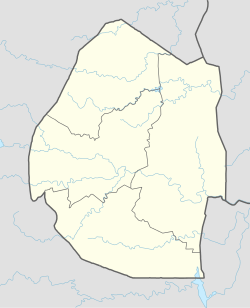 FDNH Location of the airport in Swaziland | |||||||||||
| Runways | |||||||||||
| |||||||||||
Nhlangano Airfield (ICAO: FDNH) is an airport serving Nhlangano, a town in the Shiselweni Region of Swaziland.
The runway is on the southeast side of the town, and has an additional 85 metres (279 ft) of unpaved overrun on each end.
See also
- Transport in Swaziland
- List of airports in Swaziland

References
- ↑ Airport information for Nhlangano Airport at Great Circle Mapper.
- ↑ Google Maps - Nhlangano
- ↑ "Nhlangano Airport". SkyVector. Retrieved 17 June 2018.
External links
- OpenStreetMap - Nhlangano Airport
- OurAirports - Nhlangano Airport
- FallingRain - Nhlangano
- Accident history for Nhlangano Airport at Aviation Safety Network
- Google Earth
| Main Roads |  | |
|---|---|---|
| Rail | ||
| Air | ||
| Border posts | ||
This article is issued from
Wikipedia.
The text is licensed under Creative Commons - Attribution - Sharealike.
Additional terms may apply for the media files.