Nether Skyborry
| Nether Skyborry | |
|---|---|
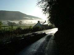 The Teme Valley near Nether Skyborry, which lies on the opposite (north-eastern) side of the valley. | |
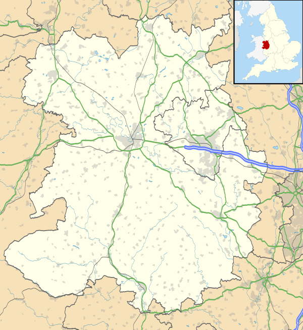 Nether Skyborry Nether Skyborry shown within Shropshire | |
| OS grid reference | SO272740 |
| Civil parish | |
| Unitary authority | |
| Ceremonial county | |
| Region | |
| Country | England |
| Sovereign state | United Kingdom |
| Post town | KNIGHTON |
| Postcode district | LD7 |
| Dialling code | 01547 |
| Police | West Mercia |
| Fire | Shropshire |
| Ambulance | West Midlands |
| EU Parliament | West Midlands |
| UK Parliament | |
Nether Skyborry is a hamlet consisting of six houses in Shropshire, England, one mile northwest of the town of Knighton.
The Welsh border lies very close - the River Teme runs to the south of the hamlet. The Welsh border is just on the other side of the river (but no longer follows the exact course of the river).
The name "Skyborry" is an anglicisation of the Welsh for barn, ysgubor.[1] "Nether" is English and means near or under.[2] The hamlet is downstream of the other hamlet with the Skyborry place name (Skyborry Green - less than 1 mile (2 km) northwest) and it is sometimes referred to as "Lower Skyborry".
Nether Skyborry lies 190–210 metres (620–690 ft) above sea level, on the northern (English) slope of the Teme valley.
See also
References
- ↑ Mark Nodine. "Welsh/English translation". Archived from the original on 25 October 2007. Retrieved 11 March 2008.
- ↑ "Wiktionary". Retrieved 1 February 2008.
External links
![]()
| Unitary authorities | |
|---|---|
| Major settlements | |
| Rivers | |
| Canals | |
| Topics | |