Nerl River (Volga)
Coordinates: 57°6′34.6818″N 37°40′2.9562″E / 57.109633833°N 37.667487833°E
| Nerl River | |
|---|---|
_01.jpg) The Nerl by the village of Yelpatyevo | |
| Country | Russia |
| Physical characteristics | |
| Main source | Lake Pleshcheyevo |
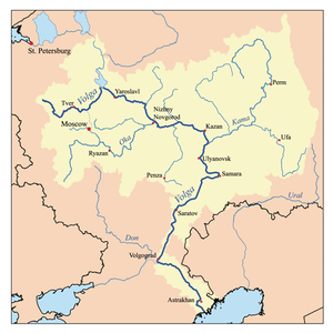
| River mouth | Volga River (Uglich Reservoir) |
| Length | 112 km (70 mi)[1] |
| Basin features | |
| Basin size | 3,270 km2 (1,260 sq mi)[1] |
The Nerl River (Russian: Нерль) is a river in Pereslavsky District of Yaroslavl and Kalyazinsky District of Tver Oblast in Russia, a right tributary of the Volga River (the Uglich Reservoir). The length of the river is 112 kilometres (70 mi). The area of its drainage basin is 3,270 square kilometres (1,260 sq mi). Its main tributary is the Kubr River (left).[1]
It originates in the Lake Pleshcheyevo under the name of Veksa-Pleshcheyevskaya, flows northwest and is known as the Nerl downstream of Lake Somino. Downstream of the village of Andrianovo a stretch of the Nerl makes the border between Yaroslavl and Tver Oblasts. Further downstream, the Nerl enters Tver Oblast. Its mouth is in the village of Sknyatino. The Nerl River freezes up in November and stays under the ice until April.
The drainage basin of the Nerl includes the western and the central parts of Pereslavsky District, the southern part of Kalyazinsky District, as well as relatively minor areas in the southern part of Uglichsky District of Yaroslavl Oblast, and northern parts of Alexandrovsky District of Vladimir Oblast and Taldomsky and Sergiyevo-Posadsky Districts of Moscow Oblast. The town of Pereslavl-Zalessky and the urban-type settlement of Kubrinsk lie in the drainage basin of the Nerl.
References
- 1 2 3 Nerl River in the State Water Register of Russia (Russian)
| Tributaries |
|  |
|---|---|---|
| Reservoirs | ||
| Hydroelectric stations | ||
| Canals | ||
| Cities | ||
| ||