National road 8 (Poland)
| ||||
|---|---|---|---|---|
| Droga krajowa nr 8 | ||||
 | ||||
| Route information | ||||
|
| ||||
| Maintained by GDDKiA | ||||
| Length | 804 km (500 mi) | |||
| Major junctions | ||||
| From | Kudowa-Zdrój (PL-CZ border) | |||
| To | Budzisko (PL-LT border) | |||
| Location | ||||
| Regions: |
Lower Silesian Voivodeship Greater Poland Voivodeship Łódź Voivodeship Masovian Voivodeship Podlaskie Voivodeship | |||
| Major cities | Wrocław, Warsaw, Białystok | |||
| Highway system | ||||
| ||||

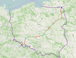
National road 8 - The national road, 804 km in length, running through Poland from the Czech border in Kudowa Zdrój to the border with Lithuania in Budzisko. It is the Polish section of the international route E67 and a fragment of the Via Baltica. Runs across five regions: Lower Silesia, Greater Poland, Lodz, Masovian and Podlaskie. It is the longest national road in Poland.

Major cities and towns along the route
| in construction | in planned | built |
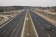
Droga krajowa nr 8
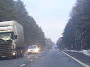
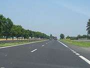
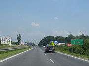
National road 8 at the height of Przyjmy
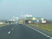
National road 8 at the height of Podkonica
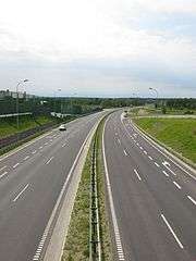
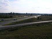
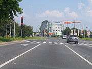
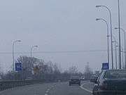
Ring road in Rawa Mazowiecka
Ring road in Rawa Mazowiecka
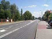
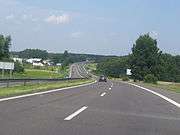
National road 8 in Konopnicy pod Rawą
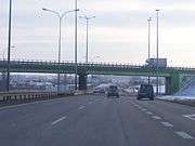
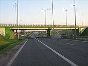
Railway bridge on Huta Zawadzka before intersection with 

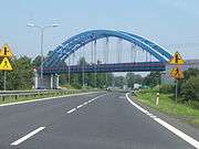
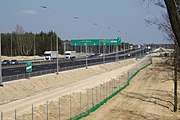
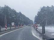
Ring road Mszczonów
Ring road Mszczonów
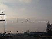
The monitoring system through No. 8 for viewing photos on the internet with the way
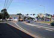
National road 7 and 8 in Warsaw
Ring road of Marki in Zielonka
Ring road of Marki in Wołomin
Ring road of Radzymin
.JPG)
"Mostówka" interchange on 
traveled with ring road of Wyszków
| Wikimedia Commons has media related to National road 8 (Poland). |
Coordinates: 51°58′38″N 20°30′24″E / 51.977278°N 20.506597°E
This article is issued from
Wikipedia.
The text is licensed under Creative Commons - Attribution - Sharealike.
Additional terms may apply for the media files.