National Register of Historic Places listings in Southington, Connecticut
This is a list of the National Register of Historic Places listings in Southington, Connecticut.
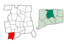
This is intended to be a complete list of the properties and districts on the National Register of Historic Places in Southington, Connecticut, United States. The locations of National Register properties and districts for which the latitude and longitude coordinates are included below, may be seen in various online maps.[1]
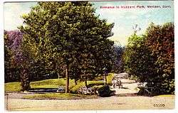
There are more than 400 properties and districts listed on the National Register in Hartford County, including 21 National Historic Landmarks. The 41 properties and districts located in the town of Southington are listed below, while the properties and districts in the remaining parts of the county are listed separately. The Farmington Canal-New Haven and Northampton Canal, Hubbard Park, and the Marion Historic District extend into other communities in Hartford County and appear in both lists.
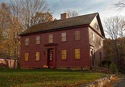
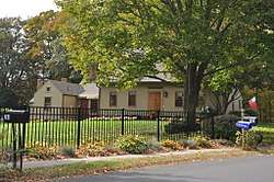
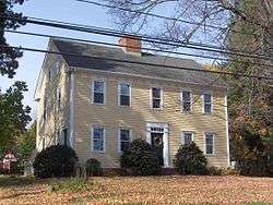
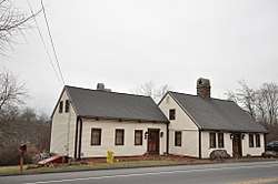
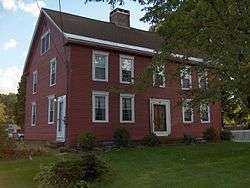
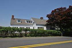
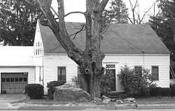
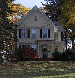
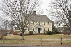
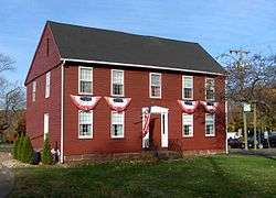
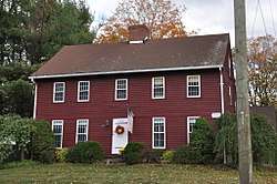
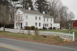
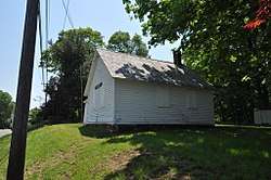
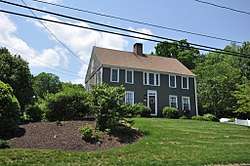
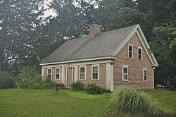
Twenty-five early houses in Southington were covered in a Multiple Property Submission study in 1988, and are indicated by asterisks (*) here.[2]
- This National Park Service list is complete through NPS recent listings posted October 4, 2018.[3]
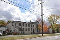
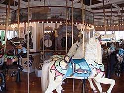
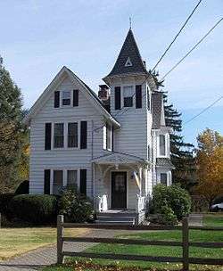
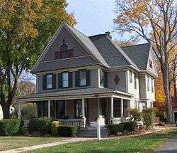
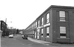
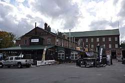
Current listings
- Addresses are "Southington, CT" unless otherwise indicated.


See also
| Wikimedia Commons has media related to National Register of Historic Places in Southington, Connecticut. |
References
- ↑ The latitude and longitude information provided in this table was derived originally from the National Register Information System, which has been found to be fairly accurate for about 99% of listings. For about 1% of NRIS original coordinates, experience has shown that one or both coordinates are typos or otherwise extremely far off; some corrections may have been made. A more subtle problem causes many locations to be off by up to 150 yards, depending on location in the country: most NRIS coordinates were derived from tracing out latitude and longitudes from USGS topographical quadrant maps created under the North American Datum of 1927, which differs from the current, highly accurate WGS84 GPS system used by most on-line maps. Chicago is about right, but NRIS longitudes in Washington are higher by about 4.5 seconds, and are lower by about 2.0 seconds in Maine. Latitudes differ by about 1.0 second in Florida. Some locations in this table may have been corrected to current GPS standards.
- ↑ Gregory Andrews and Doris Sherrow (June 1, 1988). "Colonial Houses of Southington Thematic Resources". National Park Service. Retrieved 10 October 2010.
- ↑ "National Register of Historic Places: Weekly List Actions". National Park Service, United States Department of the Interior. Retrieved on October 4, 2018.
- ↑ Numbers represent an ordering by significant words. Various colorings, defined here, differentiate National Historic Landmarks and historic districts from other NRHP buildings, structures, sites or objects.
- ↑ National Park Service (2009-03-13). "National Register Information System". National Register of Historic Places. National Park Service.
- ↑ The eight-digit number below each date is the number assigned to each location in the National Register Information System database, which can be viewed by clicking the number.
- ↑ Elizabeth C. Kopek (October 1988). "Connecticut Historic Resources Inventory: Luman Andrews House". National Park Service. Retrieved 9 October 2010. and Accompanying photo, exterior, from 1986
- ↑ https://npgallery.nps.gov/NRHP/GetAsset/NRHP/88002678_text
- ↑ https://npgallery.nps.gov/NRHP/GetAsset/NRHP/88003114_text
- ↑ https://npgallery.nps.gov/NRHP/GetAsset/NRHP/88003109_text
- ↑ David Ransom (April 1985). "Connecticut Historic Resources Inventory: Barnes/Frost House". National Park Service. and Accompanying photo, from 1985
- ↑ Gregory Andrews and Doris Sherrow (June 1, 1988). "National Register of Historic Places: Colonial Houses of Southington TR". National Park Service.
- ↑ https://npgallery.nps.gov/NRHP/GetAsset/NRHP/88002676_text
- ↑ https://npgallery.nps.gov/NRHP/GetAsset/NRHP/88002679_text
- ↑ https://npgallery.nps.gov/NRHP/GetAsset/NRHP/88002680_text
- 1 2 David Ransom (October 1988). "Connecticut Historic Resources Inventory: Capt. Josiah Cowles House". National Park Service. Retrieved 10 October 2010.
- 1 2 William Richard Cutter; William Frederick Adams (1910). Genealogical and personal memoirs relating to the families of the state of Massachusetts. Lewis historical publishing company. pp. 792–. Retrieved 9 October 2010.
- 1 2 J. Hammond Trumbull (2009). The Memorial History of Hartford County Connecticut 1633-1884. BiblioBazaar, LLC. ISBN 978-1-115-33123-4. Retrieved 1 October 2010.
- ↑ https://npgallery.nps.gov/NRHP/GetAsset/NRHP/87002037_text
- ↑ https://npgallery.nps.gov/NRHP/GetAsset/NRHP/88002681_text
- ↑ https://npgallery.nps.gov/NRHP/GetAsset/NRHP/88002677_text
- ↑ https://npgallery.nps.gov/NRHP/GetAsset/NRHP/77001420_text
- ↑ https://npgallery.nps.gov/NRHP/GetAsset/NRHP/77001417_text
| Lists by county |   | |
|---|---|---|
| Lists by city or town | ||
| Other lists | ||