Mutukula, Tanzania
| Mutukula Mtukula | |
|---|---|
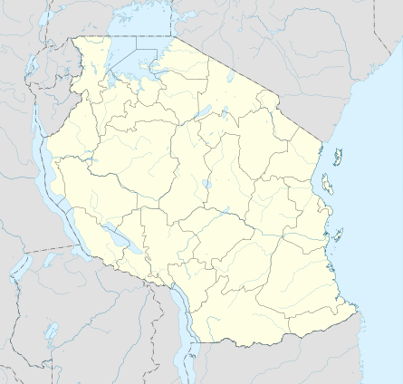 Mutukula Location in Tanzania | |
| Coordinates: 01°00′04″S 31°24′54″E / 1.00111°S 31.41500°ECoordinates: 01°00′04″S 31°24′54″E / 1.00111°S 31.41500°E | |
| Country |
|
| Region | Kagera Region |
| District | Misenyi District |
| Elevation | 400 m (1,200 ft) |
| Time zone | UTC+3 (East Africa Time ) |
| UFI | -2570404 |
| Climate | Aw |
Mutukula, sometimes spelled as Mtukula,[1] is a small town in Misenyi District, Kagera Region, in northwestern Tanzania, at the border with Uganda. Formerly, the settlement on the border was known as Kyebisagazi, and Mutukula was a kilometre to the south on the east side of the Masaka-Bukoba Road (B8).
Location
The town is located approximately 70 kilometres (43 mi), by road, northwest of Bukoba, the regional capital.[2]
Population
The 2012 estimated population of Mutukula, Tanzania, was about 5,000. The immediately adjacent town in Uganda is about three times the size.
See also
References
External links
- "Google Satellite Map of Mutukula, Tanzania". Maps.google.com.
This article is issued from
Wikipedia.
The text is licensed under Creative Commons - Attribution - Sharealike.
Additional terms may apply for the media files.