Mount Wilson (Vermont)
| Mount Wilson | |
|---|---|
 Mount Wilson Addison County, Vermont, U.S. | |
| Highest point | |
| Elevation | 3780+ ft (1152+ m) [1] |
| Prominence | 200 ft (61 m) [1] |
| Listing | #92 New England 100 Highest |
| Coordinates | 44°00′17″N 72°55′33″W / 44.0047846°N 72.9259462°WCoordinates: 44°00′17″N 72°55′33″W / 44.0047846°N 72.9259462°W [2] |
| Geography | |
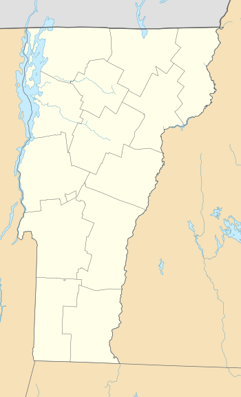
| Location | Addison County, Vermont, U.S. |
| Parent range | Green Mountains |
| Topo map | USGS Lincoln |
| Climbing | |
| Easiest route | maintained hiking trail |
Mount Wilson is a mountain located in Addison County, Vermont, in the Green Mountain National Forest. The mountain is part of the central Green Mountains. Mount Wilson is flanked to the southwest by Bread Loaf Mountain.
The southeast side of Mount Wilson drains into the headwaters of the White River, thence into the Connecticut River which drains into Long Island Sound in Connecticut. The northeast end of Mt. Wilson drains into Clark Brook, thence into the White River. The northwest side of Mt. Wilson drains into the headwaters of the New Haven River, thence into Otter Creek, Lake Champlain, Canada's Richelieu River, the Saint Lawrence River, and ultimately into the Gulf of Saint Lawrence.
The Long Trail, a 272-mile (438 km) hiking trail running the length of Vermont, traverses the summit ridge of Mt. Wilson.
Notes
- 1 2 "Mount Wilson, Vermont". Peakbagger.com. Retrieved 2012-12-19.
- ↑ "Mount Wilson". Geographic Names Information System. United States Geological Survey. Retrieved 2012-12-19.
See also
- Mount Wilson (disambiguation) for other mountains of the same name.
- List of mountains in Vermont
- New England Hundred Highest