Mount Elliott (Antarctica)
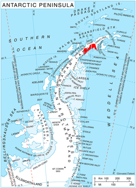
Mount Elliott (64°24′S 60°02′W / 64.400°S 60.033°WCoordinates: 64°24′S 60°02′W / 64.400°S 60.033°W) is a conspicuous mountain, 1,265 metres (4,150 ft) high, with a few small rock exposures and ice-free cliffs on the southeast side, standing 18 miles (29 km) northwest of Cape Sobral and 8 miles (13 km) northeast of Rice Bastion, on the Nordenskjöld Coast of Graham Land, Antarctica. The peak is surmounting Dinsmoor Glacier to the north, Mundraga Bay to the southeast, and Desudava Glacier to the southwest. It was charted in 1947 by the Falkland Islands Dependencies Survey (FIDS) and named for F. K. Elliott, the leader of the FIDS base at Hope Bay in 1947 and 1948.[1]
References
- ↑ "Elliott, Mount". Geographic Names Information System. United States Geological Survey. Retrieved 2012-02-28.
![]()