Cape Sobral
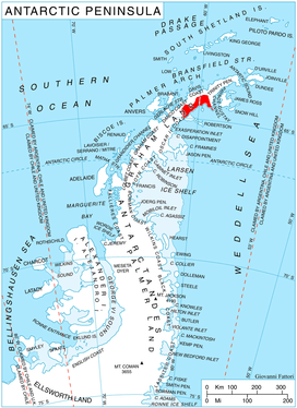
Location of Nordenskjöld Coast.
Cape Sobral (64°33′S 59°34′W / 64.550°S 59.567°WCoordinates: 64°33′S 59°34′W / 64.550°S 59.567°W) is a high, mainly snow-covered elevation which surmounts the south end of Sobral Peninsula, and forming the east side of the entrance to Mundraga Bay on the east coast of Graham Land in Antarctica. Discovered by the Swedish Antarctic Expedition, 1901–04, under Nordenskjold, who named it for Lieutenant Jose M. Sobral of the Argentine Navy, asst. physicist and meteorologist with the expedition.
![]()
This article is issued from
Wikipedia.
The text is licensed under Creative Commons - Attribution - Sharealike.
Additional terms may apply for the media files.