Mundraga Bay
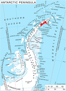
Mundraga Bay (Bulgarian: залив Мундрага, ‘Zaliv Mundraga’ \'za-liv mun-'dra-ga\) is the 28.6 km wide bay indenting for 23 km Nordenskjöld Coast in Graham Land, Antarctica. It is entered east of Fothergill Point and west of Cape Sobral. Local coastline is modified as a result of the Larsen A Ice Shelf disintegration and the subsequent retreat of the inflowing Darvari Glacier, Boryana Glacier, Desudava Glacier, Dinsmoor Glacier, Bombardier Glacier and Edgeworth Glacier in the 1990s and the early 21st century.
The bay is named after the medieval fortress of Mundraga in Northeastern Bulgaria.
Location
Mundraga Bay is centred at 64°30′00″S 59°54′00″W / 64.50000°S 59.90000°WCoordinates: 64°30′00″S 59°54′00″W / 64.50000°S 59.90000°W.
Maps
- Antarctic Digital Database (ADD). Scale 1:250000 topographic map of Antarctica. Scientific Committee on Antarctic Research (SCAR). Since 1993, regularly upgraded and updated.
References
- Mundraga Bay. SCAR Composite Antarctic Gazetteer.
- Bulgarian Antarctic Gazetteer. Antarctic Place-names Commission. (details in Bulgarian, basic data in English)
This article includes information from the Antarctic Place-names Commission of Bulgaria which is used with permission.