Monte Tchota
| Monte Tchota | |
|---|---|
 Monte Tchota in Cape Verde | |
| Highest point | |
| Elevation | 1,041 m (3,415 ft) |
| Listing | List of mountains in Cape Verde |
| Coordinates | 15°02′16″N 23°37′33″W / 15.0379°N 23.6257°WCoordinates: 15°02′16″N 23°37′33″W / 15.0379°N 23.6257°W |
| Geography | |
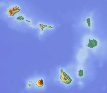
| Location | central Santiago |
Monte Tchota (also: Monte Txota) is a mountain located in the central part of Santiago Island in Cape Verde. Its elevation is 1,041 m. It is part of the Serra do Pico de Antónia Natural Park,[1] and lies 1.5 km southeast of Pico de Antónia, the highest point of the island. The village Rui Vaz lies 3 km to the east.
See also
References
- ↑ Parques Naturais, Áreas protegidas Cabo Verde
The island of Santiago | ||
|---|---|---|
| Mountains | 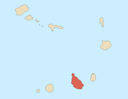 | |
| Streams | ||
| Points and promontories | ||
| Other geographic features | ||
| Transportation | ||
| Other topics | ||
| ||
This article is issued from
Wikipedia.
The text is licensed under Creative Commons - Attribution - Sharealike.
Additional terms may apply for the media files.