Monkey Bay Airport
| Monkey Bay Airport | |||||||||||
|---|---|---|---|---|---|---|---|---|---|---|---|
| Summary | |||||||||||
| Airport type | Public | ||||||||||
| Serves | Monkey Bay | ||||||||||
| Elevation AMSL | 1,580 ft / 482 m | ||||||||||
| Coordinates | 14°05′00″S 34°55′11″E / 14.08333°S 34.91972°ECoordinates: 14°05′00″S 34°55′11″E / 14.08333°S 34.91972°E | ||||||||||
| Map | |||||||||||
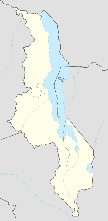 FWMY Location of the airport in Malawi | |||||||||||
| Runways | |||||||||||
| |||||||||||
Monkey Bay Airport (IATA: MYZ, ICAO: FWMY) is an airport serving the Lake Malawi port town of Monkey Bay, in the Southern Region of Malawi.
There is high terrain northwest of the airport.
Airlines and destinations
Passenger
| Airlines | Destinations |
|---|---|
| Ulendo Airlink | Lilongwe[3] |
See also


- Transport in Malawi
- List of airports in Malawi
References
- ↑ "Monkey Bay Airport". Bing Maps. Microsoft. Retrieved 2 September 2018.
- ↑ Airport information for Monkey Bay Airport at Great Circle Mapper.
- ↑ 2015/2016 timetable, "Archived copy" (PDF). Archived from the original (PDF) on 10 March 2016. Retrieved 22 June 2016.
External links
- OpenStreetMap - Monkey Bay
- OurAirports - Monkey Bay Airport
- FallingRain - Monkey Bay Airport
- Accident history for Monkey Bay Airport at Aviation Safety Network
This article is issued from
Wikipedia.
The text is licensed under Creative Commons - Attribution - Sharealike.
Additional terms may apply for the media files.