Mollinsburn
| Mollinsburn | |
|---|---|
 Hunger Heaven, Mollinsburn | |
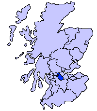
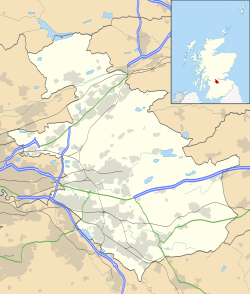 Mollinsburn Mollinsburn shown within North Lanarkshire | |
| OS grid reference | NS7195571631 |
| Council area | |
| Lieutenancy area |
|
| Country | Scotland |
| Sovereign state | United Kingdom |
| Post town | GLASGOW |
| Postcode district | G67 |
| Police | Scottish |
| Fire | Scottish |
| Ambulance | Scottish |
| EU Parliament | Scotland |
Mollinsburn is a settlement in the North Lanarkshire area of Scotland. It is situated on the A80 road between Condorrat to the east and Moodiesburn to the west. The population is around 100. It used to be known as Mollinburn and the stream known as Mollins Burn joins the Luggie Water east of the village.[1]
Mollinsburn is south of the Luggie and the M80 and M73 motorways are between the river and the village.
There is a Roman fort at Mollins, 4 kilometers south of the Antonine Wall, which was discovered by aerial photography in 1977.[2] The wall passes a few miles north of Mollinsburn, the nearest forts being Croy Hill and Bar Hill.
.jpg)
Mollinsburn to the right of the M80. Cumbernauld's Westfield can be seen to the left beside Broadwood Loch
Notes
- ↑ "25 inch O.S. Map with zoom and Bing overlay". National Library of Scotland. Ordnance Survey. Retrieved 30 December 2017.
- ↑ Historic Environment Scotland. "Mollins (45931)". Canmore. Retrieved 2009-04-02.
This article is issued from
Wikipedia.
The text is licensed under Creative Commons - Attribution - Sharealike.
Additional terms may apply for the media files.