Minto Landing Aerodrome
| Minto Landing Aerodroma | |||||||||||
|---|---|---|---|---|---|---|---|---|---|---|---|
| Summary | |||||||||||
| Airport type | Public | ||||||||||
| Operator | Government of Yukon | ||||||||||
| Serves | Minto, Yukon | ||||||||||
| Time zone | PST (UTC−08:00) | ||||||||||
| • Summer (DST) | PDT (UTC−07:00) | ||||||||||
| Elevation AMSL | 1,539 ft / 469 m | ||||||||||
| Coordinates | 62°35′38″N 136°52′27″W / 62.59389°N 136.87417°WCoordinates: 62°35′38″N 136°52′27″W / 62.59389°N 136.87417°W | ||||||||||
| Map | |||||||||||
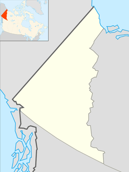 CML7 Location in Yukon  CML7 CML7 (Canada) | |||||||||||
| Runways | |||||||||||
| |||||||||||
|
Source: Canada Flight Supplement[1] | |||||||||||
Minto Landing Aerodrome (TC LID: CML7) is a registered aerodrome located next to Minto on the Yukon River in Yukon, Canada. It is a 3,583 ft × 100 ft (1,092 m × 30 m) turf/gravel strip orientated 17/35. This aerodrome should not be confused with the reopened Minto Aerodrome at Minto Mine approximately 18 km (11 mi) to the west.
References
- ↑ Canada Flight Supplement. Effective 0901Z 19 July 2018 to 0901Z 13 September 2018.
| By name | |
|---|---|
| By location indicator | |
| By province/territory | |
| By area | |
| National Airports System | |
| Related | |
| |
This article is issued from
Wikipedia.
The text is licensed under Creative Commons - Attribution - Sharealike.
Additional terms may apply for the media files.