Minto Aerodrome
| Minto Aerodroma | |||||||||||
|---|---|---|---|---|---|---|---|---|---|---|---|
| Summary | |||||||||||
| Airport type | Private | ||||||||||
| Operator | Minto Explorations Ltd. | ||||||||||
| Serves | Minto Mine | ||||||||||
| Time zone | PST (UTC−08:00) | ||||||||||
| • Summer (DST) | PDT (UTC−07:00) | ||||||||||
| Elevation AMSL | 2,969 ft / 905 m | ||||||||||
| Coordinates | 62°36′17″N 137°13′19″W / 62.60472°N 137.22194°WCoordinates: 62°36′17″N 137°13′19″W / 62.60472°N 137.22194°W | ||||||||||
| Map | |||||||||||
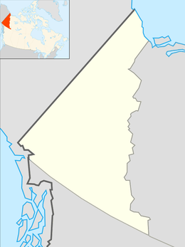 CMN4 Location in Yukon  CMN4 CMN4 (Canada) | |||||||||||
| Runways | |||||||||||
| |||||||||||
|
Source: Canada Flight Supplement[1] | |||||||||||
Minto Aerodrome (TC LID: CMN4) is a registered aerodrome in Yukon, Canada. It is a 4,495 ft × 100 ft (1,370 m × 30 m) gravel strip orientated 17/35. It was built by Minto Explorations Ltd. to service their Minto Mine copper and gold mining operation. This aerodrome should not be confused with the reopened Minto Landing Aerodrome at Minto Landing, adjacent to the Yukon River approximately 18 km (11 mi) to the east.
References
- ↑ Canada Flight Supplement. Effective 0901Z 19 July 2018 to 0901Z 13 September 2018.
| By name | |
|---|---|
| By location indicator | |
| By province/territory | |
| By area | |
| National Airports System | |
| Related | |
| |
This article is issued from
Wikipedia.
The text is licensed under Creative Commons - Attribution - Sharealike.
Additional terms may apply for the media files.