Meaver
| Meaver | |
|---|---|
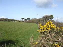 Gorse in bloom at Meaver | |
 Meaver Meaver shown within Cornwall | |
| OS grid reference | SW686189 |
| Civil parish | |
| Unitary authority | |
| Ceremonial county | |
| Region | |
| Country | England |
| Sovereign state | United Kingdom |
| EU Parliament | South West England |
Meaver is a hamlet east of Mullion and in the parish of Mullion in west Cornwall, England.[1][2]
References
Cornwall Portal | |
| Unitary authorities | |
| Major settlements |
|
| Rivers | |
| Topics | |
This article is issued from
Wikipedia.
The text is licensed under Creative Commons - Attribution - Sharealike.
Additional terms may apply for the media files.