Maroona, Victoria
| Maroona Victoria | |
|---|---|
 Maroona | |
| Coordinates | 37°27′S 142°52′E / 37.450°S 142.867°ECoordinates: 37°27′S 142°52′E / 37.450°S 142.867°E |
| Population | 110 (2016 census)[1] |
| Postcode(s) | 3377 |
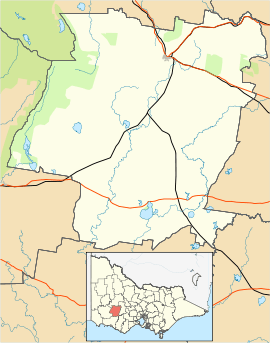
| Location |
|
| LGA(s) | Rural City of Ararat |
| State electorate(s) | Ripon |
Maroona is a town in the north west region of Victoria, Australia. It is approximately 229 kilometres (142 mi) west of the state's capital, Melbourne. Maroona is part of the statistical area of Tatyoon which at the 2016 Census, had a population of 110.[1]
Maroona sits on the junction of the Western standard gauge line and the Portland railway line. The lines were built as 1,600 mm (5 ft 3 in) (broad gauge) from Ararat to Portland in 1877.[2] and 1913 the Gheringhap–Maroona line was opened, junctioning with the line at Gheringhap.[3] They were converted to standard gauge in 1995.[4]
References
- 1 2 Australian Bureau of Statistics (27 June 2017). "Maroona(State Suburb)". 2016 Census QuickStats. Retrieved 2017-07-09.

- ↑ Sid Brown (March 1990). "Tracks Across the State". Newsrail. Australian Railway Historical Society (Victorian Division). pp. 71–76.
- ↑ "VICSIG – Infrastructure – Inverleigh". www.vicsig.net. Retrieved 2008-04-23.
- ↑ "VICSIG - Infrastructure - Line Data Portland line". www.vicsig.net. Retrieved 2008-10-14.
This article is issued from
Wikipedia.
The text is licensed under Creative Commons - Attribution - Sharealike.
Additional terms may apply for the media files.