Dunneworthy, Victoria
| Dunneworthy Victoria | |
|---|---|
 Dunneworthy | |
| Coordinates | 37°12′S 143°04′E / 37.200°S 143.067°ECoordinates: 37°12′S 143°04′E / 37.200°S 143.067°E |
| Population | 19 (2016 census)[1] |
| Postcode(s) | 3377 |
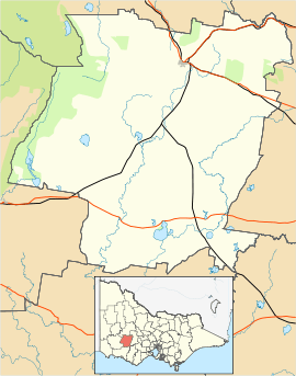
| Location | 16 km (10 mi) NE of Ararat |
| LGA(s) | Rural City of Ararat |
| State electorate(s) | Ripon |
| Federal Division(s) | Wannon |
Dunneworthy is a district located approximately 16 kilometres (10 mi) North East of the town of Ararat, Victoria, Australia. When surveyed in the 1850s there were plans for a sizeable township and a railway station was built. Development never eventuated and today the district is home to 19 people. [1]
The largest property in the area was named after the district ("Dunneworthy"), when it was split from the original Woodlands run that comprised practically all the land west of Ararat.
To the west is the Dunneworthy State Forest
Playing in the Victorian competition, the Dunneworthy Touch Club are named after the district.
See also
References
- 1 2 Australian Bureau of Statistics (27 June 2017). "Dunneworthy (State Suburb)". 2016 Census QuickStats. Retrieved 7 July 2017.

This article is issued from
Wikipedia.
The text is licensed under Creative Commons - Attribution - Sharealike.
Additional terms may apply for the media files.