Marina de Rapel Airport
| Marina de Rapel Airport | |||||||||||
|---|---|---|---|---|---|---|---|---|---|---|---|
| Summary | |||||||||||
| Airport type | Private | ||||||||||
| Serves | El Manzano (es), Chile | ||||||||||
| Elevation AMSL | 344 ft / 105 m | ||||||||||
| Coordinates | 34°09′20″S 71°27′22″W / 34.15556°S 71.45611°WCoordinates: 34°09′20″S 71°27′22″W / 34.15556°S 71.45611°W | ||||||||||
| Map | |||||||||||
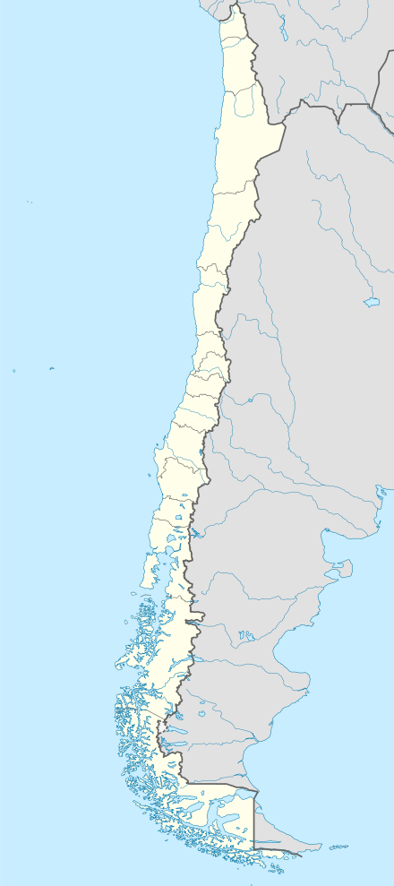
 SCMZ Location of Marina de Rapel Airport in Chile | |||||||||||
| Runways | |||||||||||
| |||||||||||
Marina de Rapel Airport (Spanish: Aeropuerto Marina de Rapel), (ICAO: SCMZ) is an airport 6 kilometres (3.7 mi) west of El Manzano (es), a lakeside town in the O'Higgins Region of Chile. El Manzano is on the northern arm of Lake Rapel.
The airport runs alongside the Marina de Rapel golf course, and is 300 metres (980 ft) from the Guardia Náutica station and the Capitanía de Puerto de Rapel[4] offices.
There is rising terrain just south of the airport, and hills across the lake to the north. North approach and departure are over the water.
See also


- Transport in Chile
- List of airports in Chile
References
- ↑ Airport information for Marina de Rapel Airport at Great Circle Mapper.
- ↑ Airport record for Marina de Rapel Airport at Landings.com. Retrieved 2013-09-10
- ↑ Google (2013-09-10). "location of Marina de Rapel Airport" (Map). Google Maps. Google. Retrieved 2013-09-10.
- ↑ "Inauguration Ceremony of the Rapel Port Captaincy (Spanish)". armada.cl. Chilean Navy. Retrieved 5 November 2017.
External links
- OpenStreetMap - Marina de Rapel
- OurAirports - Marina de Rapel
- FallingRain - Marina de Rapel Airport
- Accident history for Marina de Rapel Airport at Aviation Safety Network
- Marina Golf Rapel
This article is issued from
Wikipedia.
The text is licensed under Creative Commons - Attribution - Sharealike.
Additional terms may apply for the media files.