Manjhitar
| Manjhitar | |
|---|---|
| Town | |
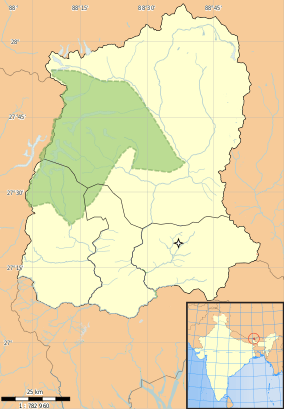 Manjhitar Location in Sikkim, India  Manjhitar Manjhitar (India) | |
| Coordinates: 27°7′0″N 88°19′0″E / 27.11667°N 88.31667°ECoordinates: 27°7′0″N 88°19′0″E / 27.11667°N 88.31667°E | |
| Country |
|
| State | Sikkim |
| District | South Sikkim |
| Elevation | 278 m (912 ft) |
| Languages | |
| • Official | Nepali, Bhutia, Lepcha, Limbu, Newari, Rai, Gurung, Mangar, Sherpa, Tamang and Sunwar |
| Time zone | UTC+5:30 (IST) |
| Vehicle registration | SK |
| Coastline | 0 kilometres (0 mi) |
Manjhitar is a small town in the Indian state of Sikkim. It is under the jurisdiction of the district of South Sikkim. The Sikkim Manipal University is situated here.
Geography
It is located at 27°7′0″N 88°19′0″E / 27.11667°N 88.31667°E at an elevation of 278 m above MSL.[1]
References
External links
This article is issued from
Wikipedia.
The text is licensed under Creative Commons - Attribution - Sharealike.
Additional terms may apply for the media files.