Mangan, India
| Mangan | |
|---|---|
| Town | |
 Mangan Location of Mangan in Sikkim  Mangan Mangan (India) | |
| Coordinates: 27°31′N 88°32′E / 27.52°N 88.53°ECoordinates: 27°31′N 88°32′E / 27.52°N 88.53°E | |
| Country |
|
| State | Sikkim |
| District | North Sikkim |
| Government | |
| • Type | Nagar Panchayat |
| Elevation | 956 m (3,136 ft) |
| Population (2011) | |
| • Total | 4,644 |
| Languages | |
| • Official | Nepali, Bhutia, Lepcha, Limbu, Newari, Rai, Gurung, Mangar, Sherpa, Tamang and Sunwar |
| Time zone | UTC+5:30 (IST) |
| Vehicle registration | SK-03 |
Mangan is the capital of the district of North Sikkim in the Indian state of Sikkim. The town is connected to the capital Gangtok by a metalled road. North Sikkim is the largest district of Sikkim in terms of area. The town lies in the geographic south of the district. After the opening up of the district, Mangan has witnessed a spurt in its economy, mostly due to organic farming. The town opens up the Tibetan Plateau. Mangan also serves the towns of Lachung, Chungthang and Lachen in the far north. Owing to its elevation, the town enjoys a temperate climate.
Geography
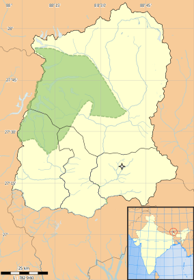
Mangan is located at 27°31′N 88°32′E / 27.52°N 88.53°E.[1] It has an average elevation of 956 metres (3136 feet).
Demographics
As of 2011 India census,[2] Mangan had a population of 4644. Males constitute 55% of the population and females 45%. Mangan has an average literacy rate of 83.81%, higher than state average of 81.42 %: male literacy is 87.80%, and female literacy is 79.34%. In Mangan.
References
- ↑ Falling Rain Genomics, Inc - Mangan
- ↑ "Census of India 2011: Data from the 2011 Census, including cities, villages and towns (Provisional)". Census Commission of India. Archived from the original on 2004-06-16. Retrieved 2008-11-01.