Mananwala
| Mananwala مانانوالہ | |
|---|---|
| City | |
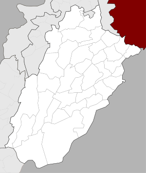 Mananwala Location in Pakistan  Mananwala Mananwala (Pakistan) | |
| Coordinates: 31°35′15″N 73°41′23″E / 31.58750°N 73.68972°ECoordinates: 31°35′15″N 73°41′23″E / 31.58750°N 73.68972°E | |
| Country | Pakistan |
| Province | Punjab |
| District | Sheikhupura |
| Union Councils | UC.-100/1 |
| Postal Code | 39170 |
| Area | |
| • Total | 9 km2 (3 sq mi) |
| Population (2013) | |
| • Total | 50,000 |
| • Density | 5,600/km2 (14,000/sq mi) |
| Time zone | UTC+5 (PST) |
| Area code(s) | 056 |
Mananwala (Urdu: مانانوالہ) is a city in Sheikhupura District, Punjab, Pakistan. It is situated on the Lahore-Sheikhupura-Faisalabad road.[1]
References
- ↑ "Mananwala". maplandia.com. Archived from the original on 2016-03-04.
This article is issued from
Wikipedia.
The text is licensed under Creative Commons - Attribution - Sharealike.
Additional terms may apply for the media files.