Lonnig
| Lonnig | ||
|---|---|---|
| ||
 Lonnig Location of Lonnig within Mayen-Koblenz district 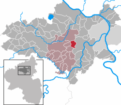 | ||
| Coordinates: 50°18′42″N 7°24′30″E / 50.31167°N 7.40833°ECoordinates: 50°18′42″N 7°24′30″E / 50.31167°N 7.40833°E | ||
| Country | Germany | |
| State | Rhineland-Palatinate | |
| District | Mayen-Koblenz | |
| Municipal assoc. | Maifeld (Verbandsgemeinde) | |
| Government | ||
| • Mayor | Günter Seul | |
| Area | ||
| • Total | 5.50 km2 (2.12 sq mi) | |
| Elevation | 260 m (850 ft) | |
| Population (2017-12-31)[1] | ||
| • Total | 1,237 | |
| • Density | 220/km2 (580/sq mi) | |
| Time zone | CET/CEST (UTC+1/+2) | |
| Postal codes | 56295 | |
| Dialling codes | 02625 | |
| Vehicle registration | MYK | |
| Website | www.lonnig.de | |

Lonnig is a municipality in the district of Mayen-Koblenz in Rhineland-Palatinate, western Germany.
References
- ↑ Statistisches Landesamt Rheinland-Pfalz "Bevölkerungsstand 2017 - Gemeindeebene" Check
|url=value (help). Statistisches Landesamt Rheinland-Pfalz (in German). 2018.
This article is issued from
Wikipedia.
The text is licensed under Creative Commons - Attribution - Sharealike.
Additional terms may apply for the media files.