Longdon, Staffordshire
| Longdon | |
|---|---|
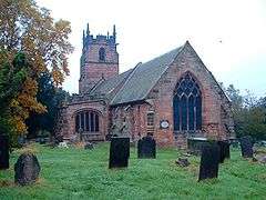 Church of St James the Great | |
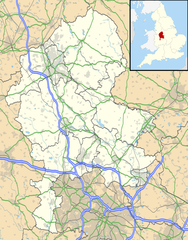 Longdon Longdon shown within Staffordshire | |
| Population | 1,505 (2011)[1] |
| OS grid reference | SK080145 |
| Civil parish |
|
| District | |
| Shire county | |
| Region | |
| Country | England |
| Sovereign state | United Kingdom |
| Post town | RUGELEY |
| Postcode district | WS15 |
| Dialling code | 01543 |
| Police | Staffordshire |
| Fire | Staffordshire |
| Ambulance | West Midlands |
| EU Parliament | West Midlands |
| UK Parliament | |
Longdon is a village and civil parish[3] in the District of Lichfield, Staffordshire, England.[4][5]
Location
The village is situated midway between the towns of Rugeley and Lichfield. The parish also includes the nearby villages of Upper Longdon, Longdon Green and Gentleshaw.[6]
At the 2001 census, the population of the parish was 1,472. The 2011 census recorded the population of Longdon ward as 1,505.
References
- ↑ "Civil parish population". Retrieved 8 December 2015.
- ↑ "United Kingdom Parliament". Retrieved 18 September 2009.
- ↑ "Names and codes for Administrative Geography". Office for National Statistics. 31 December 2008. Archived from the original on 3 April 2010. Retrieved 15 September 2009.
- ↑ OS Explorer Map 244: Cannock Chase & Chasewater: (1:25 000) : ISBN 0 319 46269 2
- ↑ Map Details retrieved 11 April 2013
- ↑ "Longdon Parish - official site". Retrieved 22 September 2009.
External links
![]()
- Longdon Parish - official site
- Longdon Village Hall Bookings Calendar
- St James the Great, Longdon
- GENUKI: Longdon
This article is issued from
Wikipedia.
The text is licensed under Creative Commons - Attribution - Sharealike.
Additional terms may apply for the media files.