La Puebla de Valverde
| La Puebla de Valverde | |
|---|---|
| Municipality | |
 | |
 | |
 La Puebla de Valverde Location in Spain | |
| Coordinates: 40°13′N 0°55′W / 40.217°N 0.917°WCoordinates: 40°13′N 0°55′W / 40.217°N 0.917°W | |
| Country |
|
| Autonomous community |
|
| Province | Teruel |
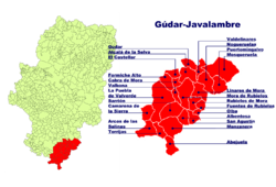
| Comarca | Gúdar-Javalambre |
| Judicial district | Teruel |
| Government | |
| • Alcaldesa | María Luisa Fuertes Alegría (2007) |
| Area | |
| • Total | 282.78 km2 (109.18 sq mi) |
| Elevation | 1,183 m (3,881 ft) |
| Population (2015) | |
| • Total | 500 |
| • Density | 1.8/km2 (4.6/sq mi) |
| Demonym(s) | Pueblano, -a |
| Time zone | UTC+1 (CET) |
| • Summer (DST) | UTC+2 (CEST) |
| Postal code | 44450 |
La Puebla de Valverde is a municipality located in the province of Teruel, Aragon, Spain. According to the 2004 census (INE), the municipality had a population of 508 inhabitants.
This town is located at the feet of the Sierra de Camarena, Sistema Ibérico.
See also
External links
This article is issued from
Wikipedia.
The text is licensed under Creative Commons - Attribution - Sharealike.
Additional terms may apply for the media files.