La Chimba Airport
| La Chimba Airport | |||||||||||
|---|---|---|---|---|---|---|---|---|---|---|---|
| Summary | |||||||||||
| Airport type | Closed | ||||||||||
| Serves | Antofagasta, Chile | ||||||||||
| Elevation AMSL | 120 ft / 37 m | ||||||||||
| Coordinates | 23°33′13″S 70°23′46″W / 23.55361°S 70.39611°WCoordinates: 23°33′13″S 70°23′46″W / 23.55361°S 70.39611°W | ||||||||||
| Map | |||||||||||
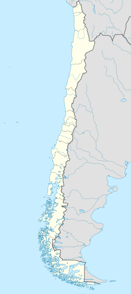
 SCMB Location of La Chimba Airport in Chile | |||||||||||
| Runways | |||||||||||
| |||||||||||
La Chimba Airport (Spanish: Aeropuerto La Chimba, (ICAO: SCMB)) was an airport serving Antofagasta, capital of the Antofagasta Region of Chile.
Google Earth Historical Imagery (10/19/2002) shows the runway marked closed and criss-crossed by new streets. Subsequent imagery show the land filled by a housing project.
See also


- Transport in Chile
- List of airports in Chile
References
- ↑ Google (2013-09-03). "location of La Chimba Airport" (Map). Google Maps. Google. Retrieved 2013-09-03.
- ↑ OurAirports - La Chimba
External links
This article is issued from
Wikipedia.
The text is licensed under Creative Commons - Attribution - Sharealike.
Additional terms may apply for the media files.