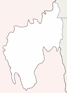
Kumarghat
| Kumarghat কুমারঘাট KGT | |
|---|---|
| city | |
 Kumarghat  Kumarghat | |
| Coordinates: 24°9′30″N 92°1′47″E / 24.15833°N 92.02972°ECoordinates: 24°9′30″N 92°1′47″E / 24.15833°N 92.02972°E | |
| Country |
|
| State | Tripura |
| District | Unakoti district |
| Population (2015) | |
| • Total | 15,189 |
| Languages | |
| • Official | Bengali, Kokborok, English |
| Time zone | UTC+5:30 (IST) |
| Vehicle registration | TR-02 |
| Website |
tripura |
Kumarghat is a town, municipality, block and a sub-division in Unakoti district in the Indian state of Tripura.
Demographics
As of 2011, Kumarghat sub-division had a population of 157,972.[1]
Constituent villages
- Darchawi,
- Ujan Dudhpur,
- Bali Cherra
- Bashbagan
- Uttar Pabiacherra
- Pabiacherra
- Fatikroy
- Asram Palli
- Halaimura
- Santipara
- Nidevi
- Sonaimuri
- Saidabari
- Krishna nagar
- Nath para
- Rail colony
Transportation
Kumarghat railway station is one of the few railway stations in the Tripura. It is connected with Agartala and Silchar.
See also
References
This article is issued from
Wikipedia.
The text is licensed under Creative Commons - Attribution - Sharealike.
Additional terms may apply for the media files.