Kollipara
| Kollipara | |
|---|---|
| Village | |
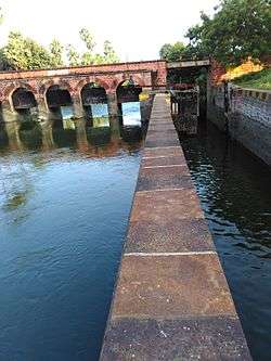 Kollipara lock | |
 Kollipara Location in Andhra Pradesh, India  Kollipara Kollipara (India) | |
| Coordinates: 16°17′16″N 80°45′07″E / 16.287735°N 80.751927°ECoordinates: 16°17′16″N 80°45′07″E / 16.287735°N 80.751927°E | |
| Country | India |
| State | Andhra Pradesh |
| District | Guntur |
| Mandal | Kollipara |
| Area[1] | |
| • Total | 17.43 km2 (6.73 sq mi) |
| Population (2011)[2] | |
| • Total | 12,982 |
| • Density | 740/km2 (1,900/sq mi) |
| Languages | |
| • Official | Telugu |
| Time zone | UTC+5:30 (IST) |
| PIN | 522304 |
| Vehicle registration | AP |
Kollipara is a village in Guntur district of the Indian state of Andhra Pradesh. The major occupation of the village is agriculture, which includes cultivation of paddy.[3]
See also
References
- ↑ "District Census Handbook – Guntur" (PDF). Census of India. The Registrar General & Census Commissioner. pp. 14, 402. Retrieved 23 June 2016.
- ↑ "Census 2011". The Registrar General & Census Commissioner, India. Retrieved 12 August 2014.
- ↑ "Helen causes extensive damage to crops". The New Indian Express. Vijayawada. 25 November 2013. Retrieved 26 February 2016.
This article is issued from
Wikipedia.
The text is licensed under Creative Commons - Attribution - Sharealike.
Additional terms may apply for the media files.