Knoxville Municipal Airport
| Knoxville Municipal Airport | |||||||||||
|---|---|---|---|---|---|---|---|---|---|---|---|
| Summary | |||||||||||
| Airport type | Public | ||||||||||
| Owner | City of Knoxville, IA | ||||||||||
| Serves | Knoxville, Iowa | ||||||||||
| Location | Knoxville, Iowa, U.S. | ||||||||||
| Opened | 1981 | ||||||||||
| Elevation AMSL | 928.3 ft / 283 m | ||||||||||
| Coordinates | 41°17′57″N 093°06′49″W / 41.29917°N 93.11361°WCoordinates: 41°17′57″N 093°06′49″W / 41.29917°N 93.11361°W | ||||||||||
| Map | |||||||||||
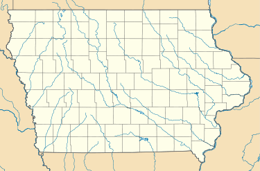
 OXV Location of airport in Iowa/ United States  OXV OXV (the US) | |||||||||||
| Runways | |||||||||||
| |||||||||||
Knoxville Municipal Airport (also known as Jim Bellamy Field) (IATA: OXV, ICAO: KOXV) is an airport in Knoxville, Iowa.[1]
References
- 1 2 FAA Airport Master Record for OXV (Form 5010 PDF). Federal Aviation Administration. Effective June 22, 2017.
External links
- FAA Terminal Procedures for OXV, effective October 11, 2018
- Resources for this airport:
- FAA airport information for OXV
- AirNav airport information for OXV
- ASN accident history for OXV
- FlightAware airport information and live flight tracker
- SkyVector aeronautical chart for OXV
This article is issued from
Wikipedia.
The text is licensed under Creative Commons - Attribution - Sharealike.
Additional terms may apply for the media files.