Quirima
| Quirima | |
|---|---|
| Municipality | |
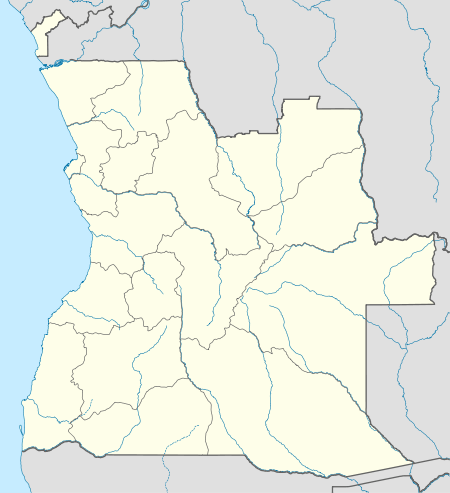 Quirima Location in Angola | |
| Coordinates: 10°54′S 18°05′E / 10.900°S 18.083°ECoordinates: 10°54′S 18°05′E / 10.900°S 18.083°E | |
| Country |
|
| Province | Malanje |
| Area | |
| • Total | 10,077 km2 (3,891 sq mi) |
| Population | |
| • Estimate (2006) | 36,349 |
| • Density | 3.6/km2 (9/sq mi) |
| Time zone | UTC+1 (WAT) |
Quirima (or Kirima) is a município (municipality) in the province of Malanje (Malange) in Angola.[1][2][3] It covers an area of 10,077 square kilometres (3,891 sq mi) and its estimated population as of 2006 is 36,349 inhabitants.[4]
Quirima is bordered to the north by the municipality of Cambundi-Catembo, to the east by the municipality of Cacolo, to the south by the municipality of Cuemba, and to the west by the municipality of Luquembo.
The municipality contains the comunas (communes) of Quirima and Sauter.
References
- ↑ "City councils of Angola". Statoids. Retrieved 9 Apr 2009.
- ↑ "Reference Center: Provinces". Angolan Embassy in the United States. Archived from the original on 11 February 2006. Retrieved 27 Feb 2010.
- ↑ "Malange: Municípios" (in Portuguese). Info-Angola. Retrieved 27 Feb 2010.
- ↑ "Angola Statistics: Malange". GeoHive. Archived from the original on 2009-10-15. Retrieved 27 Feb 2010.
Source: Instituto Nacional de Estatística, Angola. Instituto Nacional de Segurança Social, Angola
This article is issued from
Wikipedia.
The text is licensed under Creative Commons - Attribution - Sharealike.
Additional terms may apply for the media files.