Kings Ripton
| Kings Ripton | |
|---|---|
 St Peter's, Kings Ripton | |
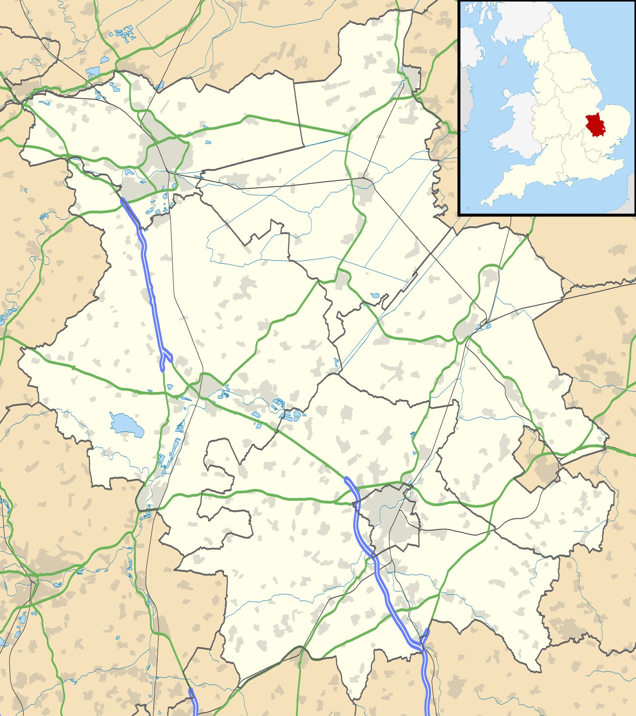 Kings Ripton Kings Ripton shown within Cambridgeshire | |
| Population | 222 (2011) |
| OS grid reference | TL260765 |
| Civil parish |
|
| District | |
| Shire county | |
| Region | |
| Country | England |
| Sovereign state | United Kingdom |
| Post town | HUNTINGDON |
| Postcode district | PE28 |
| Dialling code | 01487 |
| Police | Cambridgeshire |
| Fire | Cambridgeshire |
| Ambulance | East of England |
| EU Parliament | East of England |
Kings Ripton (traditionally King's Ripton) is a village and civil parish in Cambridgeshire, England.[1] Kings Ripton lies approximately 3 miles (5 km) north-east of Huntingdon. Kings Ripton is situated within Huntingdonshire which is a non-metropolitan district of Cambridgeshire as well as being a historic county of England.
History
Forming part of the parish of neighbouring Hartford at the time of the Domesday Book, in a suit of 1276 the king claimed the area as the demesne of the Crown and was known for a while as Ripton Regis, a hamlet of Hartford. The prefix "King's" is used to distinguish it from neighbouring Abbots Ripton, which was at one time owned by Ramsey Abbey. The manor is currently owned by Magdalene College, Cambridge.[2]
The early Quaker leader James Nayler was buried on 21 October 1660 "in Thomas Parnell's burying-ground at King's Ripton."[3] According to the village's website "There is also a Quakers Burial ground to the rear of 'Quakers Rest' on Ramsey Road."[4]
Government
As a civil parish, Kings Ripton has a parish council, composed of five councillors and has a parish clerk.[5] The second tier of local government is Huntingdonshire District Council, a non-metropolitan district of Cambridgeshire. Kings Ripton is a part of the district ward of Upwood and The Raveleys and is represented on the district council by one councillor.[6][7] For Kings Ripton the highest tier of local government is Cambridgeshire County Council.[8] Kings Ripton is part of the electoral division of Warboys and Upwood[6] and is represented on the county council by one councillor.[9]
At Westminster Kings Ripton is in the parliamentary constituency of North West Cambridgeshire,[6] where it is represented by Shailesh Vara (Conservative). For the European Parliament Kings Ripton is part of the East of England constituency.
Demography
Population
In the period 1801 to 1901 the population of Kings Ripton was recorded every ten years by the UK census. During this time the population was in the range of 111 (the lowest was in 1901) and 284 (the highest was in 1861).[10]
From 1901, a census was taken every ten years with the exception of 1941 (due to the Second World War).
| Parish |
1911 |
1921 |
1931 |
1951 |
1961 |
1971 |
1981 |
1991 |
2001 |
2011 |
|---|---|---|---|---|---|---|---|---|---|---|
| Kings Ripton | 112 | 122 | 117 | 127 | 129 | 127 | 139 | 148 | 168 | 222 |
All population census figures from report Historic Census figures Cambridgeshire to 2011 by Cambridgeshire Insight.[10]
In 2011, the parish covered an area of 1,359 acres (550 hectares)[10] and the population density of Kings Ripton in 2011 was 104.5 persons per square mile (40.4 per square kilometre).
Church
The parish church of St Peter dates from the 13th century, with extensions over the following 300 years. There was a church on the site at the time of the Norman Conquest though no trace remains of the original building.[2]
The ornamented square font dates from the 12th century.
See also
References
- ↑ Ordnance Survey: Landranger map sheet 142 Peterborough (Market Deeping & Chatteris) (Map). Ordnance Survey. 2012. ISBN 9780319229248.
- 1 2 'Parishes: King's Ripton', A History of the County of Huntingdon. 2. Victoria County History. 1932. pp. 207–210.
- ↑ Braithwaite's Beginnings of Quakerism (1911), p. 275.
- ↑ About Kings Ripton.
- ↑ "Kings Ripton Parish Council: Councillors". www.kingsriptonpc.org.uk. Kings Ripton Parish Council. Retrieved 8 February 2016.
- 1 2 3 "Ordnance Survey Election Maps". www.ordnancesurvey.co.uk. Ordnance Survey. Retrieved 23 February 2016.
- ↑ "Huntingdonshire District Council: Councillors". www.huntingdonshire.gov.uk. Huntingdonshire District Council. Retrieved 23 February 2016.
- ↑ "Cambridgeshire County Council". www.cambridgeshire.gov.uk. Cambridgeshire County Council. Retrieved 23 February 2016.
- ↑ "Cambridgeshire County Council: Councillors". www.cambridgeshire.gov.uk. Cambridgeshire County Council. Retrieved 15 February 2016.
- 1 2 3 "Historic Census figures Cambridgeshire to 2011" (xlsx – download). www.cambridgeshireinsight.org.uk. Cambridgeshire Insight. Retrieved 12 February 2016.
External links
| Wikimedia Commons has media related to Kings Ripton. |