Khrystynivka
| Khrystynivka Христинівка | |||
|---|---|---|---|
| City | |||
| |||
 Khrystynivka | |||
| Coordinates: 48°48′N 29°58′E / 48.800°N 29.967°ECoordinates: 48°48′N 29°58′E / 48.800°N 29.967°E | |||
| Country Oblast Raion |
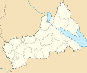
Ukraine Cherkasy Oblast Khrystynivka Raion | ||
| Founded | 1890 | ||
| City status | 1956 | ||
| Government | |||
| • Mayor | Mykola Nakonechnyj | ||
| Area | |||
| • Total | 13 km2 (5 sq mi) | ||
| Elevation | 238 m (781 ft) | ||
| Population (2007) | |||
| • Total | 10,683 | ||
| • Density | 820/km2 (2,100/sq mi) | ||
| Postal code | 20000-20008 | ||
| Area code(s) | +380-4745 | ||
| Website | https://archive.is/20140802060854/http://khryst-rada.gov.ua/ | ||

Khrystynivka (Ukrainian: Христи́нівка, Ukrainian pronunciation: [xrɪsˈtɪnʲiwkɑ]; Russian: Христи́новка, Khristinovka) is a city in Cherkasy Oblast (province) of Ukraine. It serves as the administrative center of Khrystynivka Raion. Population: 10,683 (2017 est.)[1]
It is also the site of an ancient mega-settlement dating to 4000 - 3600 BC belonging to the Cucuteni-Trypillian culture. The settlement was for the time very large, covering an area of 100 hectares. This proto-city are just one of 2,440 Cucuteni-Trypillia settlements discovered so far in Moldova and Ukraine. 194 (8%) of these settlements had an area of more than 10 hectares between 5000 - 2700 BC and more than 29 settlements had an area in the range 100 - 300 - 450 Hectares.[2]
References
- ↑ "Чисельність наявного населення України (Actual population of Ukraine)" (in Ukrainian). State Statistics Service of Ukraine. Retrieved 26 August 2017.
- ↑ http://www.trypillia.com/index.php?option=com_content&view=article&id=104:videiko-m-yu-trypillia-culture-proto-cities-after-40-years-of-investigations&catid=54:archaeology&Itemid=66
| Raions | |||||
|---|---|---|---|---|---|
| Cities |
| ||||
| |||||
This article is issued from
Wikipedia.
The text is licensed under Creative Commons - Attribution - Sharealike.
Additional terms may apply for the media files.