Kenscoff
| Kenscoff | |
|---|---|
| Commune | |
 Agriculture in Kenscoff | |
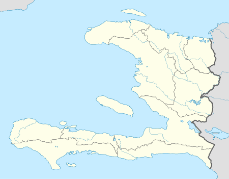 Kenscoff Location in Haiti | |
| Coordinates: 18°27′2″N 72°17′13″W / 18.45056°N 72.28694°W | |
| Country |
|
| Department | Ouest |
| Arrondissement | Port-au-Prince |
| Area | |
| • Total | 202.76 km2 (78.29 sq mi) |
| Elevation | 1,504[1] m (4,934.38 ft) |
| Population | |
| • Total | 52,232 |
| • Density | 258/km2 (670/sq mi) |
Kenscoff is a commune in the Port-au-Prince Arrondissement, in the Ouest department of Haiti, located in the foothills of the Chaîne de la Selle mountain range, some 10 kilometres to the southeast of the capital city of Port-au-Prince. The altitude is approximately 1500 meters, making the town the highest permanent settlement in the Caribbean. Because of its altitude, the temperature is on average cooler than the capital and during winter months can be chilly relative to the rest of the country. It has a population of around 52,200.
The town has a weekly market where rural farmers congregate to sell their goods and produce; some farmers traveling great distances on foot to do so.
Kenscoff is the home of the Baptist Haiti Mission, Hospital De Fermathe, the Wynne Farm Ecological Reserve, and the Architectural Association Haiti Visiting School.
References
- ↑ Calais, Eric, ed. (19 January 2003), Haiti - GPS site descriptions (PDF), Purdue University – Earth and Atmospheric Science Department, p. 3, retrieved 5 April 2016
Coordinates: 18°27′N 72°17′W / 18.450°N 72.283°W
