Kenneggy Downs
Coordinates: 50°06′46″N 5°24′16″W / 50.1129°N 5.4044°W
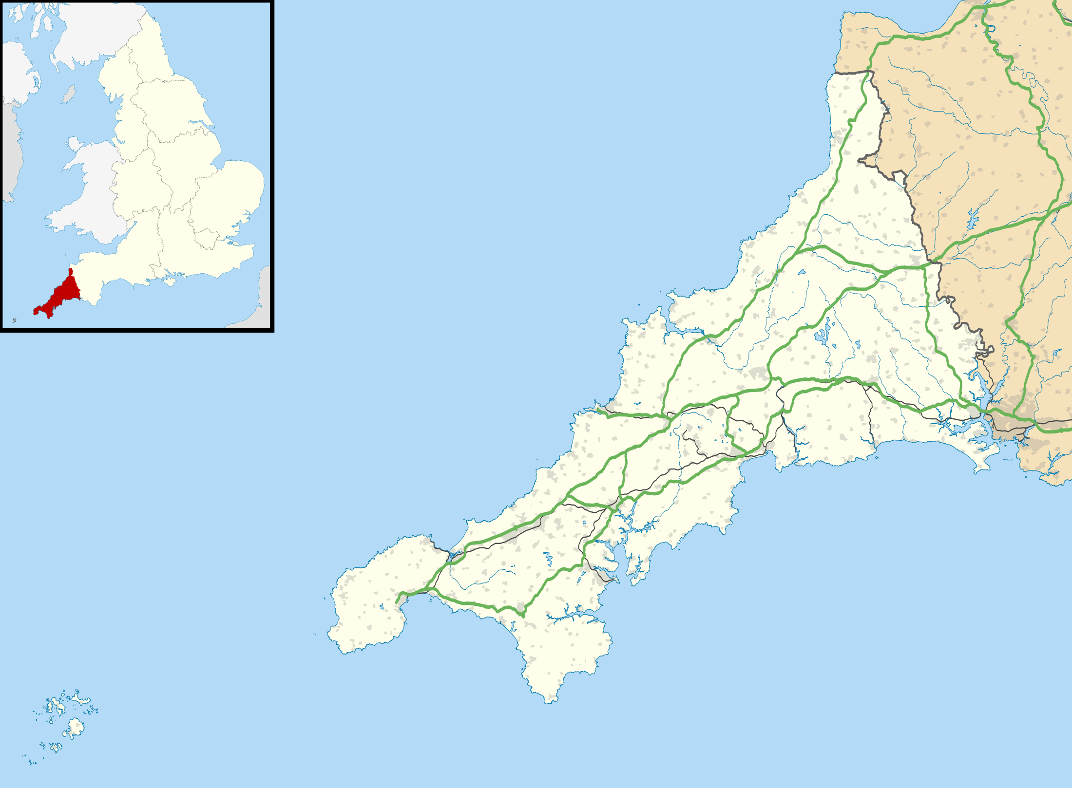
Kenneggy Downs shown within Cornwall
Kenneggy Downs is a hamlet on the A394 in Cornwall, UK. It is situated in the west of the civil parish of Breage (where the population at the 2011 census was included.), 5 miles (8.0 km) east of the town of Penzance.[1] On 3 September 1879 a tenement was sold by auction at Kanneggie Downs.[2] The hamlet contains a public house. Kenneggy Downs is north of the twin hamlets of Kenneggy.[1]
There is also a Kenegie at Gulval, near Penzance; Kenegy is Cornish for bogs.[3]
References
Cornwall Portal | |
| Unitary authorities | |
| Major settlements |
|
| Rivers | |
| Topics | |
This article is issued from
Wikipedia.
The text is licensed under Creative Commons - Attribution - Sharealike.
Additional terms may apply for the media files.