Kayser Mountain
| Kayser Mountain | |
|---|---|
| Kayser Bjerg | |
| Highest point | |
| Elevation | 1,094 m (3,589 ft) [1] |
| Coordinates | 81°33′15″N 58°58′28″W / 81.55417°N 58.97444°WCoordinates: 81°33′15″N 58°58′28″W / 81.55417°N 58.97444°W [1] |
| Geography | |
| Location | Hall Land, Greenland |
| Parent range | Haug Range |
| Climbing | |
| First ascent | Unknown |

Kayser Mountain (Danish: Kayser Bjerg) is a mountain in Hall Land, NW Greenland. Administratively it is part of the Qaasuitsup municipality. This peak was named after German geologist and paleontologist Emanuel Kayser.
Geography
Kayser Mountain is located at the eastern end of the Haug Range in northern Hall Land, at the southern limit of the Polaris Foreland. It rises 6 km to the southwest of the shore of the Newman Bay fjord.[2] With a height of 1,094 metres (3,589 ft), Kayser Mountain is the highest elevation of Hall Land and of the Haug Range.[1]
Pentamerus fossils dating back to the Lower Silurian have been found in this mountain.[3]
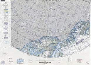 Map of the Nares Strait area. |
See also
Bibliography
References
- 1 2 3 GoogleEarth
- ↑ "Kayser Bjerg". Mapcarta. Retrieved 8 July 2016.
- ↑ Jin, Jisuo (2009). "SULCIPENTAMERUS(PENTAMERIDA, BRACHIOPODA) FROM THE LOWER SILURIAN WASHINGTON LAND GROUP, NORTH GREENLAND". Palaeontology. 52: 385–399. doi:10.1111/j.1475-4983.2009.00849.x.
This article is issued from
Wikipedia.
The text is licensed under Creative Commons - Attribution - Sharealike.
Additional terms may apply for the media files.