Katumbi Airport
| Katumbi Airport | |||||||||||
|---|---|---|---|---|---|---|---|---|---|---|---|
| Summary | |||||||||||
| Airport type | Closed | ||||||||||
| Serves | Katumbi | ||||||||||
| Elevation AMSL | 3,986 ft / 1,215 m | ||||||||||
| Coordinates | 10°49′40″S 33°30′30″E / 10.82778°S 33.50833°ECoordinates: 10°49′40″S 33°30′30″E / 10.82778°S 33.50833°E | ||||||||||
| Map | |||||||||||
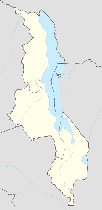 FWKB Location of the airport in Malawi | |||||||||||
| Runways | |||||||||||
| |||||||||||
Katumbi Airport (ICAO: FWKB) was an airport 2 kilometres (1.2 mi) southwest of the village of Katumbi, Republic of Malawi.
In aerial views,[3] the runway appears to have been abandoned sometime after 2002. Trees and shrubs are now growing on the runway area, and runway markings have been removed.
See also
- Transport in Malawi
- List of airports in Malawi


References
- ↑ Google Maps - Katumbi
- ↑ OurAirports - Katumbi Airport closed
- ↑ Google Earth Historical Imagery (8/27/2002) - (8/7/2011)
External links
- OpenStreetMap - Katumbi Airport closed
- FallingRain - Katumbi Airport
- Accident history for Katumbi Airport at Aviation Safety Network
This article is issued from
Wikipedia.
The text is licensed under Creative Commons - Attribution - Sharealike.
Additional terms may apply for the media files.