Kančioginas
| Kančioginas | |
|---|---|
| Village | |
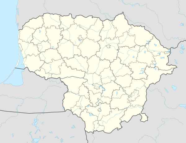 Kančioginas Location in Lithuania | |
| Coordinates: 55°13′52″N 26°20′35″E / 55.23111°N 26.34306°ECoordinates: 55°13′52″N 26°20′35″E / 55.23111°N 26.34306°E | |
| Country |
|
| County | Utena County |
| Municipality | Ignalina district municipality |
| Eldership | Kančioginas eldership |
| Population (2011[1]) | |
| • Total | 52 |
| Time zone | UTC+2 (EET) |
| • Summer (DST) | UTC+3 (EEST) |
| Wikimedia Commons has media related to Kančioginas. |
Kančioginas − village in Lithuania, Ignalina District Municipality, Ignalina part of south, Sirvėta Regional Park edge, Utena County. 5 kilometres northwest of Ceikiniai village. Peculiar planned rural structure, valuable folk architectural complex.
Nature and Geography
Western village stream flows Kančiogina, southwest of the lake lies there Kančioginas lake.
External links
References
- ↑ "Ignalinos rajonas, Kančioginas". Lithuanian official statistics department. 2013-01-25. Retrieved 2016-01-22.
This article is issued from
Wikipedia.
The text is licensed under Creative Commons - Attribution - Sharealike.
Additional terms may apply for the media files.