Kalorama Triangle Historic District
|
Kalorama Triangle Historic District | |
 | |
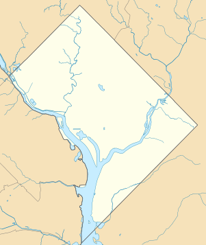  | |
| Location |
Roughly bounded by Connecticut Ave., NW Columbia Rd., NW and Calvert St., NW Washington, D.C. |
|---|---|
| Coordinates | 38°55′14″N 77°2′47″W / 38.92056°N 77.04639°WCoordinates: 38°55′14″N 77°2′47″W / 38.92056°N 77.04639°W |
| NRHP reference # | 87000627 [1] |
| Added to NRHP | May 4, 1987 |
The Kalorama Triangle Historic District is located in the Kalorama Heights neighborhood of Washington, D.C. It was listed on the National Register of Historic Places in 2004. It has been listed on the District of Columbia Inventory of Historic Sites since 1986 and it was listed on the National Register of Historic Places in 2004. The district is home to roughly 350 contributing properties.[2]
Contributing properties
See also
- Kalorama, Washington, D.C.—Kalorama Triangle neighborhood history and boundaries
References
- ↑ National Park Service (2007-01-23). "National Register Information System". National Register of Historic Places. National Park Service.
- ↑ "District of Columbia Inventory of Historic Sites" (PDF). DC Preservation. Archived from the original (PDF) on 2012-03-18. Retrieved 2011-12-11.
External links
| Wikimedia Commons has media related to Kalorama Triangle, Washington, D.C.. |
- NPS: Kalorama Triangle Historic District webpage
- District of Columbia Historic Preservation Office: Kalorama Triangle Historic District Brochure
- D.C. Historic Preservation Office: Kalorama Triangle Historic District Map
| Topics | |
|---|---|
| Lists by states |
|
| Lists by insular areas | |
| Lists by associated states | |
| Other areas | |
| |
This article is issued from
Wikipedia.
The text is licensed under Creative Commons - Attribution - Sharealike.
Additional terms may apply for the media files.