Jarut
| Jarut | |
|---|---|
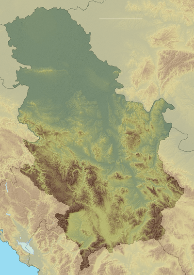 Jarut Location in Serbia | |
| Highest point | |
| Elevation | 1,428 m (4,685 ft) [1] |
| Coordinates | 43°03′54″N 20°14′42″E / 43.06500°N 20.24500°ECoordinates: 43°03′54″N 20°14′42″E / 43.06500°N 20.24500°E |
| Geography | |
| Location | Southwestern Serbia |
Jarut[1] (Serbian Cyrillic: Јарут) is a mountain in southwestern Serbia, surrounding the Pešter plateau, near the town of Tutin. Its highest peak Markov vrh has an elevation of 1,428 meters above sea level.
References
- 1 2 Jovan Đokić. "Katalog planina Srbije". PSD Kopaonik Beograd. Archived from the original on 2011-05-18.
This article is issued from
Wikipedia.
The text is licensed under Creative Commons - Attribution - Sharealike.
Additional terms may apply for the media files.