Ixtapangajoya
| Ixtapangajoya | |
|---|---|
| Municipality | |
 Municipality of Ixtapangajoya in Chiapas | |
|
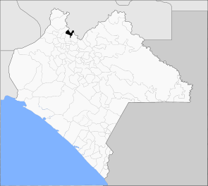
Ixtapangajoya Location in Mexico | |
| Coordinates: 17°29′50″N 93°0′6″W / 17.49722°N 93.00167°WCoordinates: 17°29′50″N 93°0′6″W / 17.49722°N 93.00167°W | |
| Country |
|
| State | Chiapas |
| Area | |
| • Total | 201.2 km2 (77.7 sq mi) |
| Population (2010) | |
| • Total | 5,478 |
| Website | http://www.ixtapangajoya.gob.mx |
Ixtapangajoya is a town and one of the 119 municipalities of Chiapas, in southern Mexico.
As of 2010, the municipality had a total population of 5,478,[1] up from 4,707 as of 2005.[2] It covers an area of 201.2 km².
As of 2010, the town of Ixtapangajoya had a population of 1,272,[1] up from 826 as of 2005.[2] Other than the town of Ixtapangajoya, the municipality had 24 localities, the largest of which (with 2010 populations in parentheses) was: La Gloria (1,478), classified as urban, and classified as rural.[1]
References
- 1 2 3 "Ixtapangajoya". Catálogo de Localidades. Secretaría de Desarrollo Social (SEDESOL). Retrieved 23 April 2014.
- 1 2 "Ixtapangajoya". Enciclopedia de los Municipios de México. Instituto Nacional para el Federalismo y el Desarrollo Municipal / Gobierno del Estado de Chiapas. Retrieved July 25, 2008.

This article is issued from
Wikipedia.
The text is licensed under Creative Commons - Attribution - Sharealike.
Additional terms may apply for the media files.