Islas del Cisne Airport
| Islas del Cisne Airport Swan Islands | |||||||||||
|---|---|---|---|---|---|---|---|---|---|---|---|
| Summary | |||||||||||
| Airport type | Public | ||||||||||
| Serves | Islas del Cisne, Honduras | ||||||||||
| Elevation AMSL | 37 ft / 11 m | ||||||||||
| Coordinates | 17°24′25″N 83°56′00″W / 17.40694°N 83.93333°WCoordinates: 17°24′25″N 83°56′00″W / 17.40694°N 83.93333°W | ||||||||||
| Map | |||||||||||
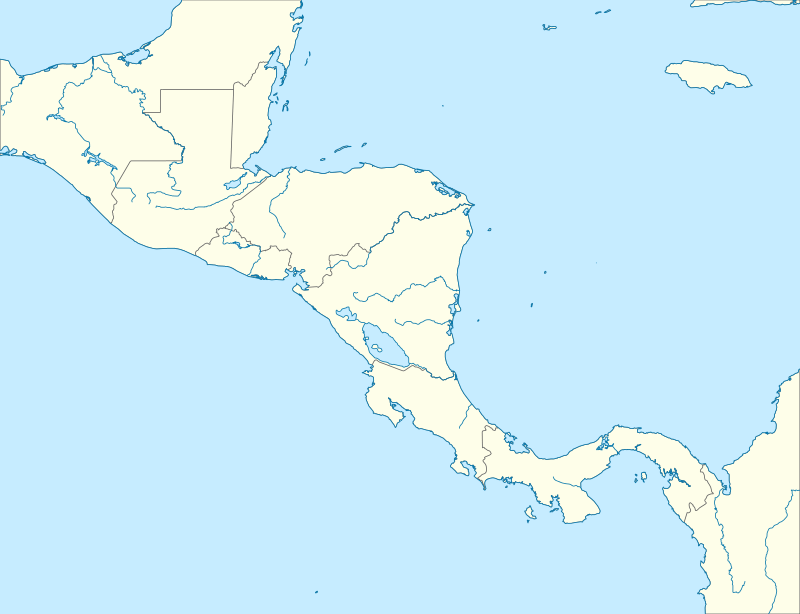 Islas del Cisne Airport Location of the airport | |||||||||||
| Runways | |||||||||||
| |||||||||||
Islas del Cisne Airport (ICAO: MHIC) is an airport serving the Swan Islands (Islas del Cisne) in Islas de la Bahía Department, Honduras. The islands are in the Caribbean Sea, 180 kilometres (110 mi) north of the Honduran coast.
Approach and departure are over the water. The Islas del Cisne non-directional beacon (ident: SWA) is just off the western end of the runway. The Roatan VOR-DME (Ident: ROA) is located 162.5 nautical miles (301 km) west-southwest of the airport.[4][3]
See also


- Transport in Honduras
- List of airports in Honduras
References
- ↑ Airport information for Islas del Cisne Airport at Great Circle Mapper.
- ↑ Google Maps - Islas del Cisne
- 1 2 "Isla del Cisne Airport". SkyVector. Retrieved 26 September 2018.
- ↑ "Roatan VOR". Our Airports. Retrieved 26 September 2018.
External links
- Islas del Cisne
- OpenStreetMaps - Islas del Cisne
- OurAirports - Islas del Cisne
- Accident history for MHIC at Aviation Safety Network
This article is issued from
Wikipedia.
The text is licensed under Creative Commons - Attribution - Sharealike.
Additional terms may apply for the media files.