Iringa Urban District
| Iringa Urban District | |
|---|---|
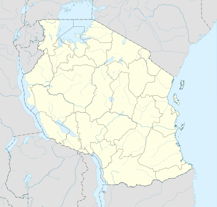 Iringa Urban District Location in Tanzania | |
| Coordinates: 07°46′57″S 35°41′59″E / 7.78250°S 35.69972°E | |
| Country | Tanzania |
| Region | Iringa Region |
| District | Iringa Urban District |
| Government | |
| • Type | City Council |
| Population (2012 Census) | |
| • Total | 151,345 |
| Time zone | GMT + 3 |
Iringa Urban District is one of the five districts of the Iringa Region of Tanzania. It is bordered to the north, east, and west by the Iringa Rural District and to the south by the Kilolo District.
According to the 2012 census, the population of the Iringa Urban District was 151,345.[1]
Wards
The Iringa Municipality is administratively divided into 16 wards:
References
This article is issued from
Wikipedia.
The text is licensed under Creative Commons - Attribution - Sharealike.
Additional terms may apply for the media files.