Ilm (Bavaria)
| Ilm | |
|---|---|
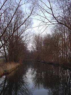 River Ilm in Geisenfeld | |
| Country | Germany |
| Physical characteristics | |
| Main source | Upper Bavaria |
| River mouth |
Abens 48°49′43″N 11°45′36″E / 48.82861°N 11.76000°ECoordinates: 48°49′43″N 11°45′36″E / 48.82861°N 11.76000°E |
| Length | 83.8 km (52.1 mi) [1] |
| Basin features | |
| Progression | Abens→ Danube→ Black Sea |
| Basin size | 579 km2 (224 sq mi) [1] |
The Ilm is a river in Bavaria, Germany, left tributary of the Abens. Its source is near Altomünster. It is approx. 84 km long. It flows generally north through the small towns Hilgertshausen-Tandern, Reichertshausen, Pfaffenhofen an der Ilm, Geisenfeld and Vohburg. It flows into the Abens near Neustadt an der Donau.
References
- 1 2 Complete table of the Bavarian Waterbody Register by the Bavarian State Office for the Environment (xls, 10.3 MB)
This article is issued from
Wikipedia.
The text is licensed under Creative Commons - Attribution - Sharealike.
Additional terms may apply for the media files.