Ilik River Fortification II
|
Ilik River Fortification II | |
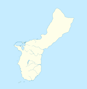 | |
| Location | Shore of Ylig Point, Yona, Guam |
|---|---|
| Coordinates | 13°23′14″N 144°46′23″E / 13.38722°N 144.77306°ECoordinates: 13°23′14″N 144°46′23″E / 13.38722°N 144.77306°E |
| Area | less than one acre |
| Built by | 10th Independent Mixed Regiment |
| MPS | Japanese Coastal Defense Fortifications on Guam TR |
| NRHP reference # | 88001871[1] |
| Added to NRHP | March 4, 1991 |
The Ilik River Fortification II near Yona, Guam was built by Japanese forces during World War II. It was listed on the U.S. National Register of Historic Places in 1991.[1]
It is a pillbox located about 100 meters from an entrance to Ylig Bay, 30 meters inland from the high tide line, and about 50 meters above sea level. The fortification consists of three partial sides of a structure made of coral pieces cemented together, a construction technique introduced to the island during its colonial Spanish administration. The surviving wall segments range in thickness from 0.7 metres (2.3 ft) to 0.9 metres (3.0 ft) in thickness, and there is a gun port in the south-facing wall.[2]
See also
References
- 1 2 National Park Service (2010-07-09). "National Register Information System". National Register of Historic Places. National Park Service.
- ↑ Antonio E. Martinez, Jr. (November 2, 1990 and Accompanying photo from 1986). "National Register of Historic Places: Ilik River Fortification II". Check date values in:
|date=(help)
| Topics | |
|---|---|
| Lists by states |
|
| Lists by insular areas | |
| Lists by associated states | |
| Other areas | |
| |
This article is issued from
Wikipedia.
The text is licensed under Creative Commons - Attribution - Sharealike.
Additional terms may apply for the media files.