Hummeltal
| Hummeltal | ||
|---|---|---|
| ||
 Hummeltal Location of Hummeltal within Bayreuth district 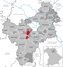 | ||
| Coordinates: 49°53′24.94″N 11°30′37.00″E / 49.8902611°N 11.5102778°ECoordinates: 49°53′24.94″N 11°30′37.00″E / 49.8902611°N 11.5102778°E | ||
| Country | Germany | |
| State | Bavaria | |
| Admin. region | Oberfranken | |
| District | Bayreuth | |
| Municipal assoc. | Mistelbach | |
| Government | ||
| • Mayor | Patrick Meyer (CSU) | |
| Area | ||
| • Total | 18.40 km2 (7.10 sq mi) | |
| Elevation | 389-580 m (−1,514 ft) | |
| Population (2017-12-31)[1] | ||
| • Total | 2,401 | |
| • Density | 130/km2 (340/sq mi) | |
| Time zone | CET/CEST (UTC+1/+2) | |
| Postal codes | 95503 | |
| Dialling codes | 09201 | |
| Vehicle registration | BT | |
| Website | www.vg-mistelbach.de | |

Hummeltal is a municipality in the district of Bayreuth in Bavaria in Germany.
References
- ↑ "Fortschreibung des Bevölkerungsstandes". Bayerisches Landesamt für Statistik und Datenverarbeitung (in German). September 2018.
This article is issued from
Wikipedia.
The text is licensed under Creative Commons - Attribution - Sharealike.
Additional terms may apply for the media files.